What is recorded here
Caherbirrane holds a circular earthen fort twenty-nine metres across, marked by a broken bank and shallow ditch on a south-facing slope. Cattle still feed inside the ancient boundary, while a modern silage pit bites into the western edge. The fort has surrendered one wall to farming and kept its shape in pasture, waiting for people to remember that soil can hold architecture long after timber and stone disappear.
In pasture, on S-facing slope. Circular area (29m N-S; 29m E-W) defined by earthen bank (int. H 1.2m) SW->SE; scarp (H 1.5m) elsewhere. Shallow external fosse NW->NNE. Breaks in bank to NE (Wth 1.8m) and SW (Wth 3.6m). Second bank, depicted on 1940 OS 6-inch map, levelled; silage pit abuts bank to W; gap to SW opens into farmyard. Interior used as feeding area for cattle.
The above description is derived from the published 'Archaeological Inventory of County Cork. Volume 3: Mid Cork' (Dublin: Stationery Office, 1997). In certain instances the entries have been revised and updated in the light of recent research.
Date of upload/revision: 14 January 2009
The monument record does not grant public access. Check the route and ask the landowner before entering private land.
- What survives
- Recorded monument
Places near here
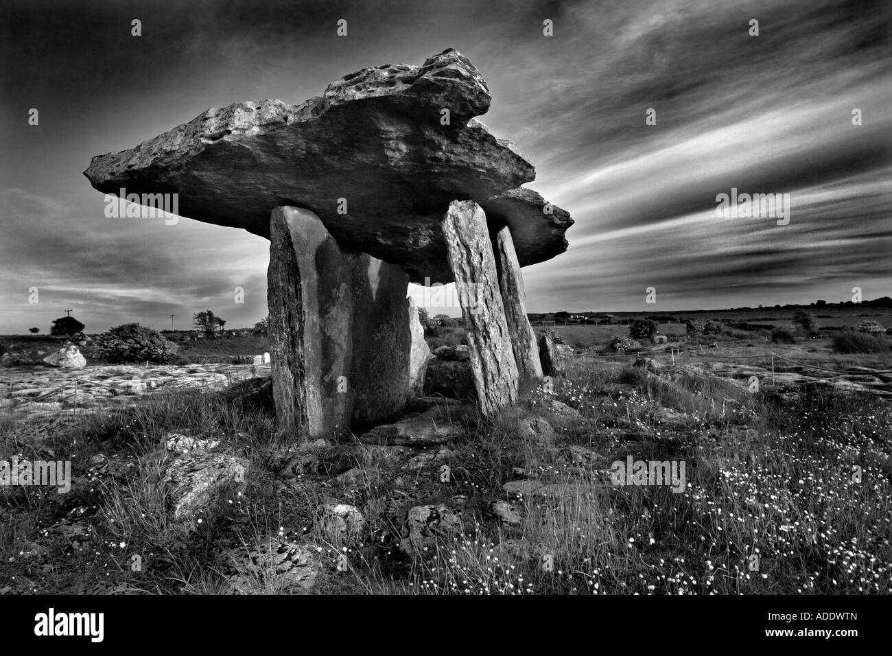 DolmenWedge tomb · 741 yd
 Fulacht FiadhFulacht fia · 879 yd
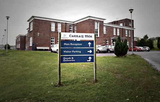 Carraig na Speireoige Chp (in Rns)Church · 1503 yd
 sign postsign post · 1.7 mi
 Neill's WoodWood · 2.4 mi
 Clonavrick CliffCliff · 2.6 mi
 Carrigaphooca CastleCastle · 3.3 mi
 Curraheen WoodWood · 3.7 mi
 Macroom WalksVisitor information · 3.9 mi
 Macroom Castle (in Ruins)Castle, tower house · 4.0 mi
 Paddy Mulcahey 2009Memorial · 4.1 mi
 Battle of Macroombattle · 4.1 mi