What is recorded here
Mortons and Hackett are named in local tradition, but the earth belongs to everyone and everybody. The fort stands on a rise above Lough Hackett, its shallow basin and uneven rim visible through grass and soil. It is not a display of human cleverness or a warning about danger. It is an invitation to stop pretending that understanding requires a human shape.
On a rise in undulating grassland, adjacent to NE shore of Lough Hacket. Poorly preserved roughly circular rath (D 18m) defined by a low bank from SE through S to WNW, and elsewhere by a scarp. An external berm is visible at W.
The above description is derived from the published 'Archaeological Inventory of County Galway Vol. II - North Galway'. Compiled by Olive Alcock, Kathy de hÓra and Paul Gosling (Dublin: Stationery Office, 1999).
Date of upload: 05 August 2010
The monument record does not grant public access. Check the route and ask the landowner before entering private land.
- What survives
- Recorded monument
Places near here
 LismoreFairy fort / earthen ringfort · 590 yd
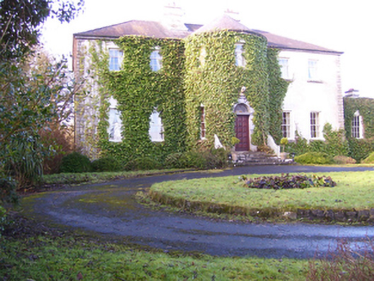 Lisdonagh Househouse · 1004 yd
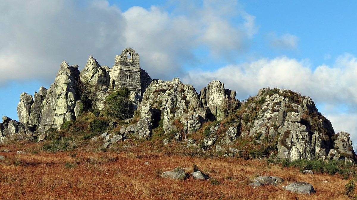 Mass-rock in OltoreMass-rock · 1241 yd
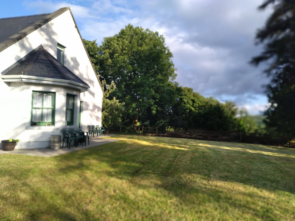 Country house in Barnaboy (headford By.)Country house · 1266 yd
 Shrule Castle in ruinsCastle, hall-house · 2.6 mi
 Shrule CastleCastle · 2.6 mi
 Pesooge PlantationForest · 3.2 mi
 KnockmaaWood · 3.3 mi
 Kilcoona Round TowerHeritage attraction · 3.4 mi
 Ross Errilly FriaryHeritage attraction · 3.8 mi
 Mass RockNamed rock · 5.0 mi
 Walsh's IslandIslet · 5.8 mi