What is recorded here
Fairy fort in Bunnasillagh, County Galway: an oval earthen ringfort, 36 metres north-south and 25 metres east-west, set on a prominent rise in undulating grassland. Two worn banks and a ditch between them still mark the shape, though the ditch and outer bank show mainly from the west to the north. People may have lived there, defended it, or abandoned it before written memory; the land kept the outline regardless.
On a prominent rise in undulating grassland. Oval rath (N-S 36m, E-W 25m), in fair condition, defined by two denuded banks and an intervening fosse. The fosse and outer bank are visible only from W to N.
The above description is derived from the published 'Archaeological Inventory of County Galway Vol. II - North Galway'. Compiled by Olive Alcock, Kathy de hÓra and Paul Gosling (Dublin: Stationery Office, 1999).
Date of upload: 05 August 2010
The monument record does not grant public access. Check the route and ask the landowner before entering private land.
- What survives
- Recorded monument
Places near here
 LismoreFairy fort / earthen ringfort · 280 yd
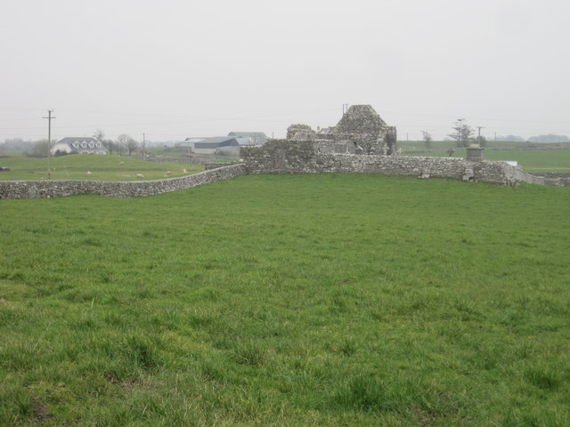 Grave YardGraveyard · 502 yd
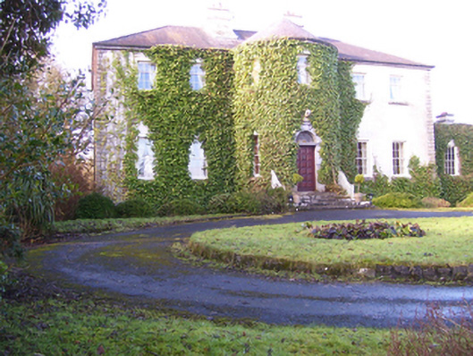 Lisdonagh Househouse · 1064 yd
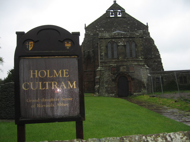 AbbeytownHouse, 18th/19th century · 1.0 mi
 Shrule Castle in ruinsCastle, hall-house · 2.2 mi
 Shrule CastleCastle · 2.2 mi
 Pesooge PlantationForest · 2.7 mi
 Cregg PlantationForest · 3.0 mi
 Ross Errilly FriaryHeritage attraction · 3.7 mi
 Kilcoona Round TowerHeritage attraction · 3.9 mi
 Mass RockNamed rock · 5.0 mi
 Walsh's IslandIslet · 6.1 mi