What is recorded here
Situated on the S face of a natural slope, surrounded by undulating pasture-land, with extensive views to the N, E & S. An oval-shaped area (dims. 49m N-S x 24.2m E-W) enclosed by a well preserved earth and stone bank (max. H 2m) with slight traces of an external fosse at N. There are possible entrance gaps at WNW (Wth 2.1m) and at N (Wth 1.8m). The interior slopes from N-S.
Compiled by: Frank Coyne and Caimin O'Brien
Date of upload: 19 April 2017
The monument record does not grant public access. Check the route and ask the landowner before entering private land.
- What survives
- Recorded monument
Places near here
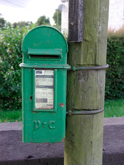 post boxpost box · 770 yd
 Brownstown OldSettlement cluster · 819 yd
 IndicatedEnclosure · 920 yd
 Archerstown Church in ruinsChapel · 1436 yd
 Bawn in ArcherstownBawn · 1.1 mi
 Bawn in Scurlockstown (delvin By.)Bawn · 1.3 mi
 The Sloe HillMountain / peak · 1.4 mi
 The FurzeForest · 1.5 mi
 Kells HillMountain / peak · 1.8 mi
 Bradley's WoodWood · 2.0 mi
 South East GateHeritage attraction · 4.4 mi
 Castle IslandIslet · 4.5 mi