What is recorded here
Jean-Charles Caillère identified the levelled Brittas ringfort before machines erased its edge. The bank still bulges slightly above grass, marking a lost doorway where people likely entered past the faded earth.
In pasture, located on gently elevation ground.
This rath is not shown on any edition of the OS 6-inch maps. It has been levelled, but its outline is still evident at ground level. It consists of a slightly raised circular area (36m N−S; c. 40m E−W) defined by a bank with an external fosse. The levelled bank can be traced SE−NE as a low undulation. It has a broad, low external slope (Wth slope c. 4m; ext. H c. 0.4m), slumping seamlessly into the fosse, which is evident as a broad, shallow depression (W 4-5m) marked by differential grass growth. On the E arc, the bank is barely discernible and the fosse is not evident at ground level –it is likely that the entrance was located on this side.
A medieval church (MA111-048001-) and graveyard (MA111-048002-) are located 250m to NW. An early 19th-century glebe house stands 80m to NE.
Notified to NMS by Jean-Charles Caillère
Attached image:
MA119-076----_01.JPG viewed from west
Compiled by: Jane O’Shaughnessy
Date of upload: 19 March 2021
The monument record does not grant public access. Check the route and ask the landowner before entering private land.
- What survives
- Recorded monument
Places near here
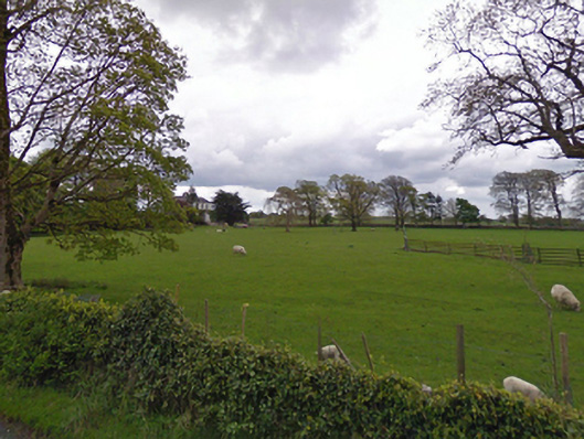 rectory/glebe/vicarage/curate's houserectory/glebe/vicarage/curate's house · 135 yd
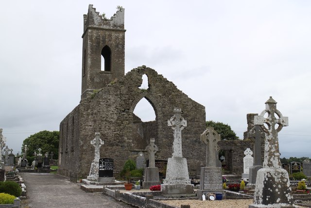 Church ruinChurch · 327 yd
 IndicatedFairy fort / earthen ringfort · 713 yd
 Enclosure in Boleymeelagh,cregduff (kilmaine By., Kilcommon Par.)Enclosure · 972 yd
 Bunacrower CastleCastle · 2.2 mi
 Castle (ruin)Castle, unclassified · 2.4 mi
 SycamoreSycamore · 3.1 mi
 European YewEuropean Yew · 4.7 mi
 Mass RockNamed rock · 10.0 mi
 Gibbs IslandsIslet · 10 mi
 Red Island RockIslet · 11 mi
 School of FalconryHeritage attraction · 11 mi