What is recorded here
Fairy fort / earthen ringfort in Bricklieve is a fairy fort or earthen ringfort in Bricklieve, County Sligo, Ireland. The raised semicircular area measures twenty-five metres north-west to south-east and sits near the top of a north-east-facing slope. An earthen bank, scarp and road boundary define the interior, while a possible fosse appears as a slight depression to the south-west. The 1838 Ordnance Survey map marked the site as an embanked circular area about twenty-eight metres across.
In rough undulating pasture, near the top of a NE-facing slope. A raised semicircular area (25m NW-SE) on the SW side of a road. The interior is defined by an earthen bank (Wth 3.5m; int. H 1m; ext. H 1.2m) S-W where it is incorporated into a field boundary, by a scarp (H 1.2m) W-NW and E-S and by a NW-SE road boundary on the NE side. There are no remains of the rath visible at ground level on the NE side of road. There is a recent gap (Wth 2m) at NW. A possible fosse (Wth 2m) is evident as slight depression S-W. The rath is indicated on the 1838 OS 6-inch map as an embanked circular area (diam. c. 28m).
The above description is derived from the published 'Archaeological Inventory of County Sligo' compiled by Ursula Egan, Elizabeth Byrne, Mary Sleeman with Sheila Ronan and Connie Murphy (Dublin Stationery Office, 2005).
Date of upload: 18 January 2008
The monument record does not grant public access. Check the route and ask the landowner before entering private land.
- What survives
- Recorded monument
Places near here
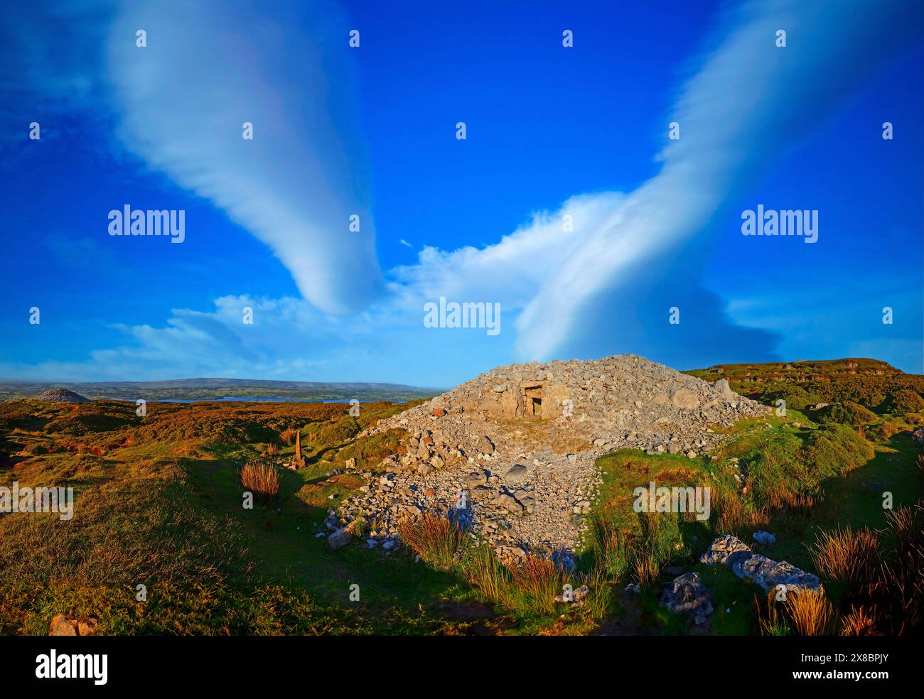 Man-made underground passage in BricklieveMan-made underground passage · 201 yd
 Bricklieve Castle (in Ruins)Castle, unclassified · 577 yd
 Bothar an Iarla Ruaidh or the Red Earls RoadRoad, road/trackway · 583 yd
 TobernaveenHoly well · 1113 yd
 School CaveCave · 1683 yd
 Quarry in CarnaweeleenQuarry · 1739 yd
 Kesh CorannMountain / peak · 1.4 mi
 Treanscrabbagh caveCave · 1.6 mi
 Castle BaldwinCastle · 1.7 mi
 Caves of KeshCave · 1.9 mi
 Bricklieve MountainsMountain / peak · 1.9 mi
 Annaghgowla IslandIslet · 2.9 mi