What is recorded here
Fairy fort / earthen ringfort in Bricklieve is a fairy fort or earthen ringfort in Bricklieve, County Sligo, Ireland. It occupies rough undulating pasture near the base of a NE-facing slope. A heavily eroded earthen bank encloses a circular area about forty by forty-five metres across, with remains of stone facing and a raised terrace in the NW quadrant defined by a stone-faced scarp.
In rough undulating pasture, near the base of a NE-facing slope. A circular area (diam. c. 40m x 45m) enclosed by a heavily eroded earthen bank (Wth 2.4m; int. H 0.6m; ext. H 1.3m) with the remains of stone facing. A raised terrace in the NW quadrant of the interior is defined by a stone-faced scarp (L 8m E-W; H 0.8m) extending from the W bank to E, the line continues to E as a break in slope. The N half of the interior slopes down to N. A N-S field boundary lies adjacent to the E bank. There are trees growing along the N bank.
The above description is derived from the published 'Archaeological Inventory of County Sligo' compiled by Ursula Egan, Elizabeth Byrne, Mary Sleeman with Sheila Ronan and Connie Murphy (Dublin Stationery Office, 2005).
Date of upload: 18 January 2008
The monument record does not grant public access. Check the route and ask the landowner before entering private land.
- What survives
- Recorded monument
Places near here
 Bricklieve Castle (in Ruins)Castle, unclassified · 182 yd
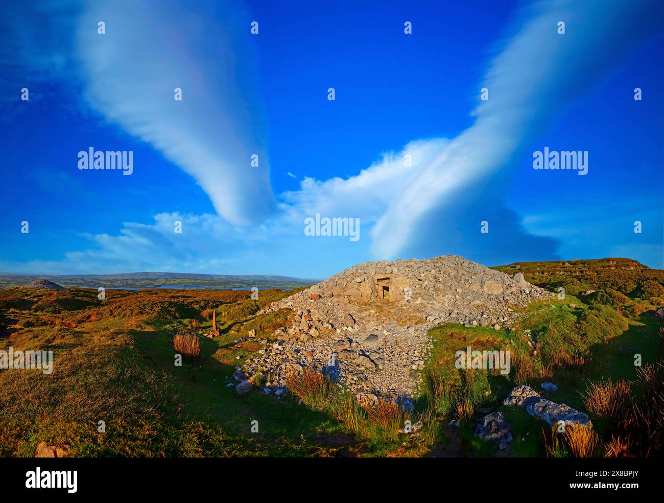 Man-made underground passage in BricklieveMan-made underground passage · 608 yd
 Bothar an Iarla Ruaidh or the Red Earls RoadRoad, road/trackway · 672 yd
 TobernaveenHoly well · 1265 yd
 School CaveCave · 1.2 mi
 Quarry in CarnaweeleenQuarry · 1.2 mi
 Castle BaldwinCastle · 1.5 mi
 Treanscrabbagh caveCave · 1.6 mi
 Kesh CorannMountain / peak · 1.6 mi
 Bricklieve MountainsMountain / peak · 1.9 mi
 Caves of KeshCave · 2.2 mi
 Annaghgowla IslandIslet · 2.6 mi