What is recorded here
Fairy fort / earthen ringfort in Brenormore is a fairy fort or earthen ringfort in Brenormore, County Tipperary, Ireland. It occupies a sub-circular area measuring 28 metres north-south and 32 metres east-west on a steep east-northeast-facing slope. The western upslope bank reaches 1.3 metres externally, while the eastern downslope bank reaches 1.6 metres externally.
In pasture, on a steep ENE-facing slope with good views overlooking valley to E and SE. Carrickabrock above to W. Sub-circular area (dims. 28m N-S; 32m E-W) defined by earthen bank (int. H 0.6m; ext. H 1.3m; Wth 7m) on upslope to W and by lower bank (int. H 0.35m; ext. H 1.6m; Wth 5.3m) on downslope at E. Bank heavily eroded by cattle at W and SE. Possible entrance (Wth 3.5m) at ENE. External fosse (Wth 5.5m; D 0.7m) is clearly defined SE-N and is choked with large stones along W arc. Man-made underground passage (TS071-0220002-) within.
Compiled by: Jean Farrelly
Date of upload: 26 August 2011
The monument record does not grant public access. Check the route and ask the landowner before entering private land.
- What survives
- Recorded monument
Places near here
 KnockahunnaMountain / peak · 1361 yd
 SheegounaMountain / peak · 1401 yd
 Drummon Bridgebridge · 1.9 mi
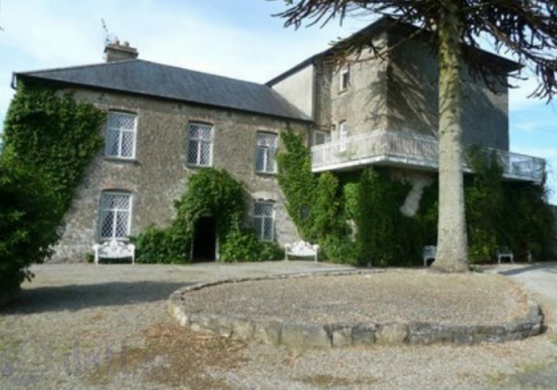 Enclosure in KnockrathkellyEnclosure · 2.0 mi
 Enclosure in MayladstownEnclosure · 2.2 mi
 Whitehall Bridgebridge · 2.2 mi
 Carrigaloe RockNamed rock · 2.5 mi
 European ashEuropean ash · 2.7 mi
 Silver FirSilver Fir · 2.8 mi
 The SpoutMemorial · 3.1 mi
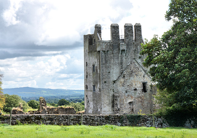 Bawn in KilcashBawn · 3.2 mi
 Kilcash Castle (in ruins)Castle, tower house · 3.2 mi