What is recorded here
Flattery's Fort stands on a grassy rise above bogland, its twin earthen banks and central ditch still visible after centuries. The main ring measures thirty metres across, while a smaller adjoining enclosure suggests a larger complex of dwellings or storage. A trackway cuts through the monument, proving people still walk past the fairy name without fearing what the earth remembers. The field bank now buries part of the outer wall, blending human ownership with the older, shapeless claim of the land.
On a rise in low-lying grassland overlooking bogland from N through E to SW. Known locally as 'Flattery's Fort' (Neary 1914, 114, no. 99), this subcircular rath (N-S 36m, E-W 30.5m) is defined by two fairly well-preserved banks and an intervening fosse. The outer bank is present from W to N, and from SE to S where it is overlain by a field bank. A trackway cuts the monument at NNW and SSE. Adjoining it at SW is a subcircular enclosure (E-W 36.5m, N-S 35m) defined by an earthen bank, it may be associated.
The above description is derived from the published 'Archaeological Inventory of County Galway Vol. II - North Galway'. Compiled by Olive Alcock, Kathy de hÓra and Paul Gosling (Dublin: Stationery Office, 1999).
Date of upload: 05 August 2010
A local fairy fort / earthen ringfort in Brackloon, known as 'Flattery's Fort', is a subcircular early-medieval rath, likely dating to the 5th–10th centuries AD. It is associated with local folklore referring to fairies, as suggested by its common name.
The monument record does not grant public access. Check the route and ask the landowner before entering private land.
- What survives
- Recorded monument
Places near here
 Enclosure in Brackloon (ballymoe By.)Enclosure · 24 yd
 Church (in Ruins)Church · 648 yd
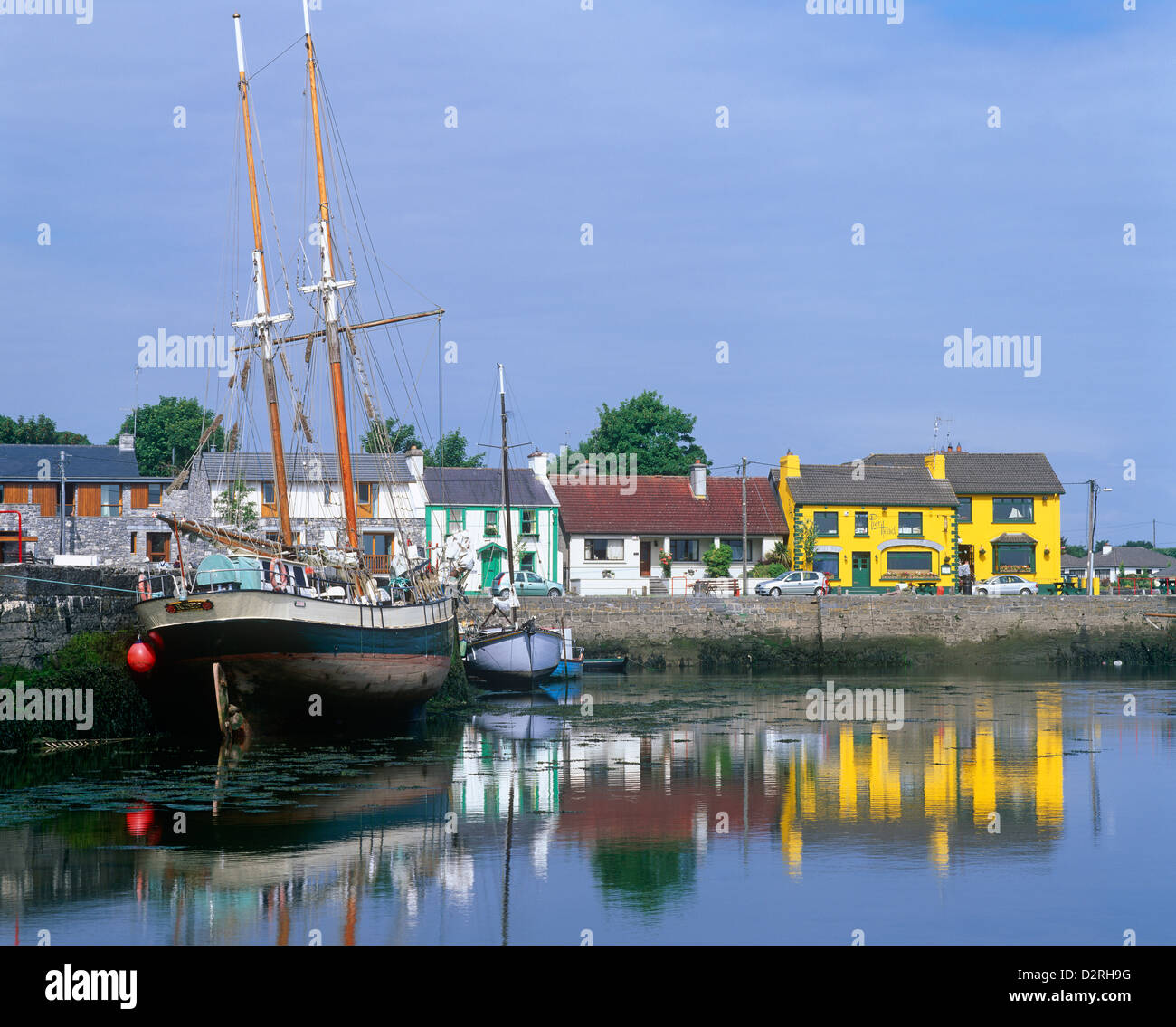 LisseachraFairy fort / earthen ringfort · 929 yd
 Kilmurry Church (in ruins)Church · 1277 yd
 Claddagh Castle (in ruins)Castle, tower house · 2.1 mi
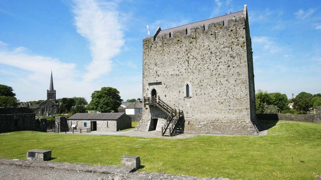 Lerhin CastleCastle · 3.1 mi
 European ashEuropean ash · 8.1 mi
 Knockmoy AbbeyHeritage attraction · 9.4 mi
 Mass RockNamed rock · 10.0 mi
 Wych ElmWych Elm · 11 mi
 Ballinlass Eviction MemorialMemorial · 11 mi
 Enclosure in Knockroe (ballymoe By.)Enclosure · 1192 yd