What is recorded here
Fairy fort / earthen ringfort in Brackary Beg stands on a drumlin slope above the Owenbeg River, its grass-covered circle marking a lost boundary between human fields and fairy danger. The earthen bank still traces a wide round room, though no entrance remains visible and the field banks that once ringed it have disappeared. People may have lived, herded or hidden there before forgetting the door, leaving behind a shape large enough to walk around but vague enough to become a story.
Located towards the top of the E-facing slope of a drumlin in the valley of the N-S Owenbeg River, with a NE-SW section of the stream c. 50m to the SE. This is a grass-covered circular area (int. diam. 32.5m N-S; 31m E-W) defined by an earthen bank (Wth 2.8m; int. H 0.15m; ext. H 0.25m). There is no visible fosse and the original entrance is not identified, but the enclosure had been surrounded by field banks, now removed.
The above description is derived from 'The Archaeological Inventory of County Leitrim' compiled by Michael J. Moore (Dublin: Stationery Office, 2003). In certain instances the entries have been revised and updated in the light of recent research.
Date of upload: 23 September 2008
The monument record does not grant public access. Check the route and ask the landowner before entering private land.
- What survives
- Recorded monument
Places near here
 Enclosure in Brackary BegEnclosure · 1076 yd
 Kilroosk RockNamed rock · 1347 yd
 Sweat Ho.Sweathouse · 1564 yd
 RC ChapelChurch · 1.5 mi
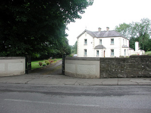 presbytery/parochial/curate's housepresbytery/parochial/curate's house · 1.7 mi
 Saddle HillMountain / peak · 1.9 mi
 Ashisland WoodForest · 2.1 mi
 Longhill WoodForest · 2.4 mi
 Giants RockNamed rock · 2.9 mi
 Dough MountainMountain / peak · 3.0 mi
 Castle CarCastle · 3.5 mi
 The Giants GraveArchaeological place · 3.6 mi