What is recorded here
Boraghy holds a subcircular earthen ringfort on a low spur amidst drumlins, marked by a remaining bank, fosse and a narrow southeastern causeway. People called it a fairy fort, perhaps because the grass and scrub still hide the shape of human hands. It is not a magical trap or a finished museum piece. It is a changed border, still visible beside a stream, where human life and local belief both left their marks.
Situated on a small SE-NW spur in a low-lying position amongst drumlins, with a NE-SW stream immediately outside it to the W. This is a subcircular grass and scrub-covered area (dims 48.5m NNW-SSE; c. 40m ENE-WSW) defined by the remains of an earthen bank ESE-W-N, and a fosse across the spur ESE-S which morphs into a berm S-W-N. There is an entrance through the bank (Wth of base 2m) and causeway (Wth of top 3.8m; H 1.3m) at SE. Archaeological testing (10E0208) immediately to the SE produced no related material (McGonigle 2010, 2012).
The above description is derived from the published 'Archaeological Inventory of County Monaghan' (Dublin: Stationery Office, 1986). In certain instances the entries have been revised and updated in the light of recent research.
Revised by: Michael Moore
Date of revision: 9 May 2018
Amended: 17 January 2020
The monument record does not grant public access. Check the route and ask the landowner before entering private land.
- What survives
- Recorded monument
Places near here
 Fairy fort / earthen ringfort in AghmakerrFairy fort / earthen ringfort · 1383 yd
 Megalithic tomb in Gragarnagh,greagh (cremorne By.)Megalithic tomb · 1627 yd
 presbytery/parochial/curate's housepresbytery/parochial/curate's house · 1.2 mi
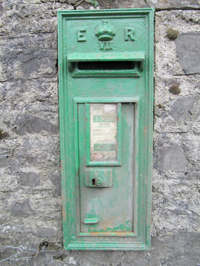 post boxpost box · 1.2 mi
 Lough Egish IslandIslet · 1.3 mi
 IllanshivansIslet · 1.5 mi
 Tally WoodWood · 2.0 mi
 Laragh WoodForest · 3.7 mi
 Fincarn HillMountain / peak · 3.8 mi
 Monaghan WayWalking route · 4.4 mi
 The CrescentMemorial · 4.8 mi
 Senator Billy Fox 1939 - 1974Memorial · 5.2 mi