What is recorded here
Fairy fort in Boolies, County Meath, is a 33m grass-covered ring with an earthen bank and outer fosse, partly absorbed into a field boundary and drain. Its original entrance remains a slight gap at ESE, while a modern opening cuts through at NNW. The site stands under a preservation order, marking it as a protected ringfort rather than a forgotten mound.
Situated on a slight rise in a fairly level landscape. This is a subcircular grass-covered area (dims 33m N-S; 29m E-W) defined by an earthen bank (at NNE: Wth of base 8m; int. H 0.5m; ext. H 2.3m) with some bushes and an outer fosse (at NNE: Wth of top 9.6m; Wth of base 2m; ext. D 1m) NW-E-SW, but the bank is incorporated into a field bank and townland boundary with Ballymacoll Little, and the fosse is converted into a field drain SW-NW. There is a modern entrance at NNW but the original entrance is a slight gap (Wth of base 2.5m) at ESE. The fosse has probably been re-cut (at SSW: Wth of top 9m; Wth of base 1.7m; int. D 3m; ext. D 1.6m) NE-E-SW.
(Feeley 2001, 35-6, No. 14)
The above description is derived from the published 'Archaeological Inventory of County Meath' (Dublin: Stationery Office, 1987). In certain instances the entries have been revised and updated in the light of recent research.
Compiled by: Michael Moore
Date of upload: 10 July 2007
Amended: 17 December 2021
This monument is subject to a preservation order made under the National Monuments Acts 1930 to 2014 (PO no. 2/1959).
The monument record does not grant public access. Check the route and ask the landowner before entering private land.
- What survives
- Recorded monument
Places near here
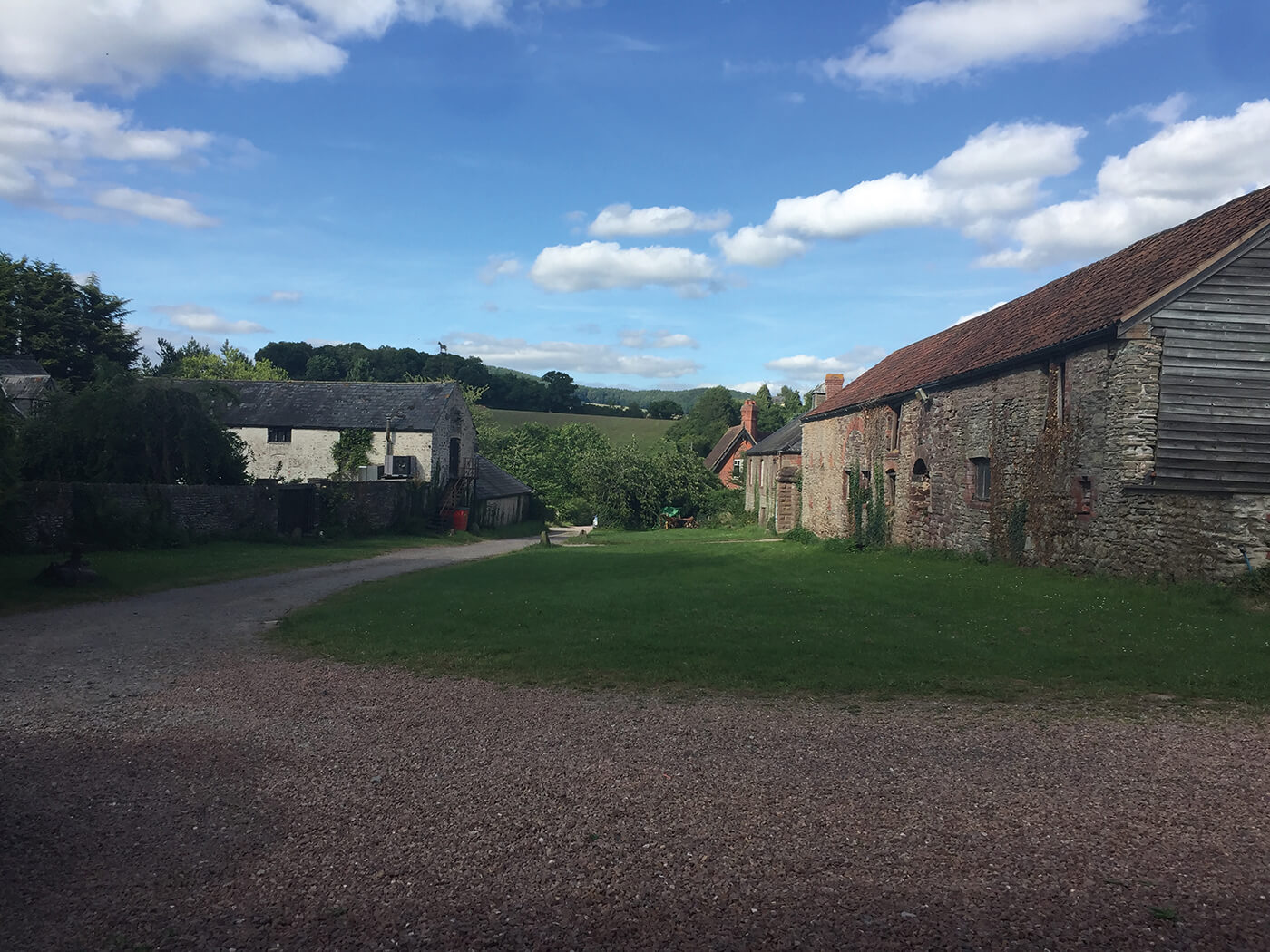 Enclosure in NuttstownEnclosure · 809 yd
 Caulstown Christmas Tree FarmForest · 1309 yd
 Enclosure in KilrueEnclosure · 1715 yd
 Wesley's WoodsWood · 1.1 mi
 Kilbride MoatCastle, motte · 1.5 mi
 Church (in Ruins)Church · 1.7 mi
 bridgebridge · 2.4 mi
 CastleCastle, motte · 3.2 mi
 AshbourneMemorial · 3.2 mi
 Graveyard in BuzzardstownGraveyard · 3.7 mi
 Hanwood GardensHeritage attraction · 4.8 mi
 Wooly Ward's FarmHeritage attraction · 4.8 mi