What is recorded here
Fairy fort in Bogganstown, County Meath: a 58m circular earthen ring on a ridge, its bank swallowed by field hedge and drain, with a modern entrance at NNE that may mark the old gap. People walked past it for centuries, calling it fairy because the shape refused explanation. Perhaps it was a home, a boundary, or a warning about what lives beneath ordinary ground.
Located on the spine of a NW-SE ridge towards its SE end. This is a circular area (diam. 58m NNE-SSW; 55m WNW-ESE) that slopes down gently to the SE defined by an earthen bank incorporated into a field bank and hedge with an outer drain W-N-E, but the field bank is about 2-3m outside the lip of the original bank E-SW. There is a large modern entrance at NNE, which might be on the site of the original.
The above description is derived from the published 'Archaeological Inventory of County Meath' (Dublin: Stationery Office, 1987). In certain instances the entries have been revised and updated in the light of recent research.
Compiled by: Michael Moore
Date of revision: 26 August 2019
The monument record does not grant public access. Check the route and ask the landowner before entering private land.
- What survives
- Recorded monument
Places near here
 Delanys FortFairy fort / earthen ringfort · 1.3 mi
 1798 MemorialMemorial · 1.3 mi
 St Nicholas WellHoly well · 1.4 mi
 MullaghMountain / peak · 1.4 mi
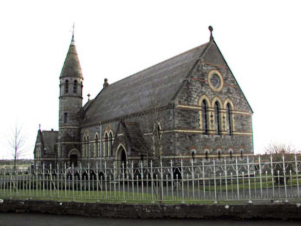 Catholic Church of Saint Martin of Tourschurch/chapel · 1.6 mi
 CastleCastle, motte · 1.8 mi
 Church (Disused)Church · 1.9 mi
 Lismahon 1798 MemorialMonument · 2.3 mi
 Mulhussy CastleCastle, tower house · 2.4 mi
 Larchil Arcadian GardensHeritage attraction · 2.8 mi
 Dunsany WoodWood · 4.6 mi
 Kilgar GardensHeritage attraction · 4.9 mi