What is recorded here
Fairy forts in Bogganstown are not fantasy but human engineering from centuries ago. The earthen bank and shallow ditch marked a boundary for residence or ritual, shaping daily life on the eastern slope. Local labels preserve wonder, yet the structure itself records human choices about ownership, defence and belonging.
Situated on a slight E-facing slope. This is a raised circular grass and scrub-covered area (diam. 15m N-S; 14m E-W) defined by the lip of an earthen bank (at NW: Wth of base 4.5m; int. H 0.2m; ext. H 1.4m) that is largely reduced to a scarp (at SE: Wth 4.4m; H 1.5m), with traces of a fosse (at NW: Wth of base 2.5m; ext. D 0.2m) NW-E. The original entrance could be the slight dip in the lip at ESE.
The above description is derived from the published 'Archaeological Inventory of County Meath' (Dublin: Stationery Office, 1987). In certain instances the entries have been revised and updated in the light of recent research.
Compiled by: Michael Moore
Date of revision: 26 August 2019
The monument record does not grant public access. Check the route and ask the landowner before entering private land.
- What survives
- Recorded monument
Places near here
 IndicatedEnclosure, large enclosure · 1636 yd
 Delanys FortFairy fort / earthen ringfort · 1.0 mi
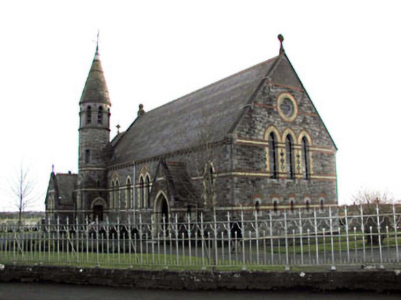 Catholic Church of Saint Martin of Tourschurch/chapel · 1.3 mi
 MullaghMountain / peak · 1.5 mi
 CastleCastle, motte · 1.5 mi
 1798 MemorialMemorial · 1.5 mi
 Church (Disused)Church · 1.9 mi
 Lismahon 1798 MemorialMonument · 2.5 mi
 Mulhussy CastleCastle, tower house · 2.6 mi
 Larchil Arcadian GardensHeritage attraction · 2.9 mi
 Dunsany WoodWood · 4.3 mi
 Railway Woods (North)Forest · 4.5 mi