What is recorded here
No fairies are required to explain the fort, although people invented them because the truth is dull: humans built a circular defensive or domestic enclosure on the hillcrest, probably centuries before written records reached the area. The completed ring measured about forty metres across, had a solid earthen bank, and contained an underground passage at its centre. It is not a mysterious fairy castle; it is a human place that became mysterious because memory left it behind.
In tillage, on crest of hill, N of farmyard. Circular area (diam. c. 40m) defined by earthen bank (int. H 0.5m; ext. H 1.3m). No visible surface trace of second bank depicted on 1903 OS 6-inch map. Interior planted with coniferous trees; Man-made underground passage (CO061-152002-) at centre.
The above description is derived from the published 'Archaeological Inventory of County Cork. Volume 3: Mid Cork' (Dublin: Stationery Office, 1997). In certain instances the entries have been revised and updated in the light of recent research.
Date of upload/revision: 14 January 2009
The monument record does not grant public access. Check the route and ask the landowner before entering private land.
- What survives
- Recorded monument
Places near here
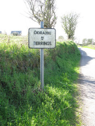 sign postsign post · 239 yd
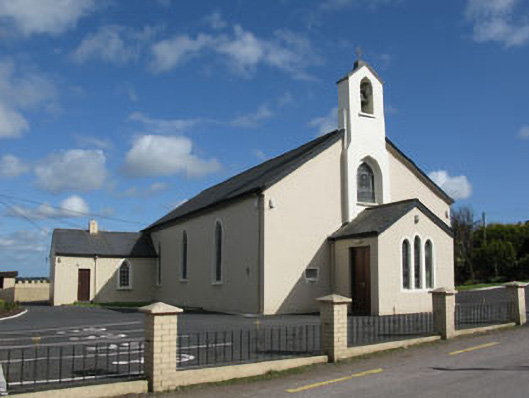 St Patrick's Roman Catholic Churchchurch/chapel · 352 yd
 Man-made underground passage in BerringsMan-made underground passage · 547 yd
 Ballyanly Inniscarra Slí na SláinteWalking route · 1.1 mi
 Mass-rock in Ballyshoneen (muskerry East By., Inishcarra Par.)Mass-rock · 1.1 mi
 Bob AdamsMemorial · 2.1 mi
 Carrignamuck Tower HouseCastle · 2.6 mi
 Castle Inch (in Ruins)Castle, tower house · 2.6 mi
 Iniscarra Dam ViewViewpoint · 3.1 mi
 Coachford Greenway (End)Visitor information · 3.3 mi
 Oldcastle WoodWood · 3.5 mi
 Farran WoodWood · 3.8 mi