What is recorded here
Belrose Upper holds a forgotten chamber where human hands shaped earth into a circle before memory faded. The bank still stands nearly two metres high, enclosing a space wide enough for dozens of people to gather, work or resist. The southern gap leads toward the valley, framed by a boulder that may have marked the entrance or simply survived the clearance. Field stones scattered inside suggest the ringfort was broken open and repurposed, its sacred or defensive function erased under ploughshares. Yet the circle remains, patient and exact, waiting for someone to remember why it was made.
In tillage, on SW-facing slope. Roughly circular area (41.5m N-S; 38m E-W) enclosed by earthen bank (H 1.95m); external fosse to W (D 0.6m). Gap in bank to S (Wth 2m) defined by boulder on E side. Field clearance stones dumped in interior.
The above description is derived from the published 'Archaeological Inventory of County Cork. Volume 1: West Cork' (Dublin: Stationery Office, 1992). In certain instances the entries have been revised and updated in the light of recent research.
Date of upload/revision: 14 January 2009
The monument record does not grant public access. Check the route and ask the landowner before entering private land.
- What survives
- Recorded monument
Places near here
 IndicatedFairy fort / earthen ringfort · 671 yd
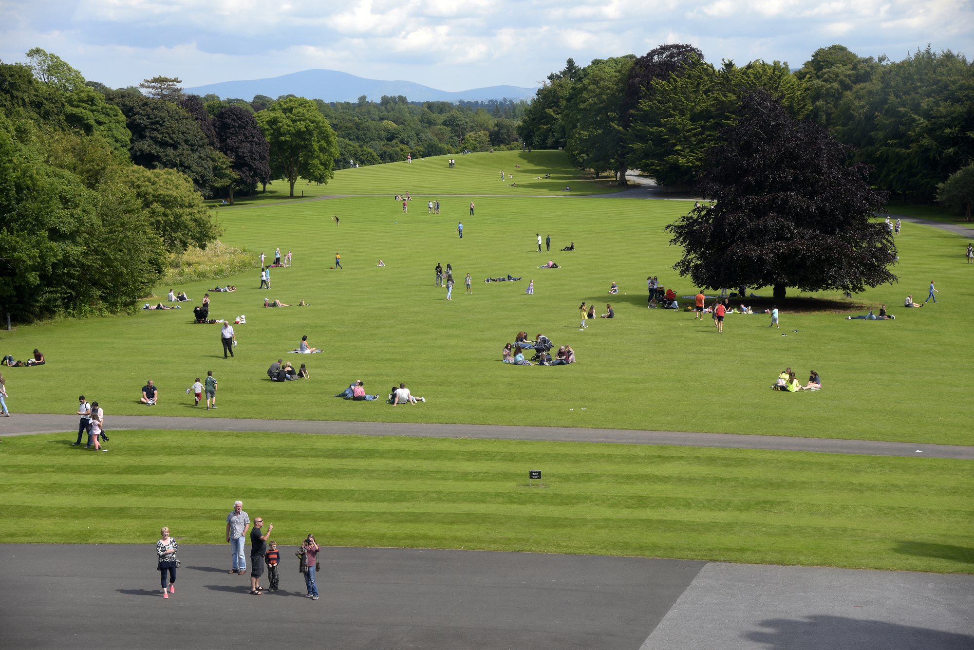 ParknakillaBurial ground · 753 yd
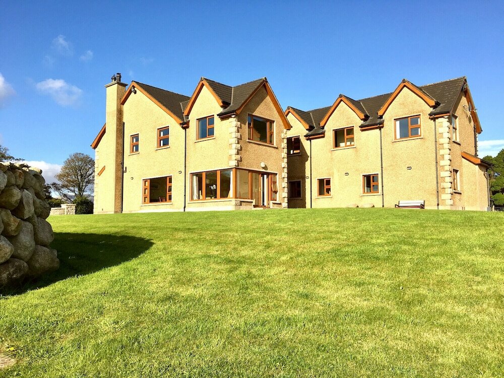 Country house in KillaneerCountry house · 1.2 mi
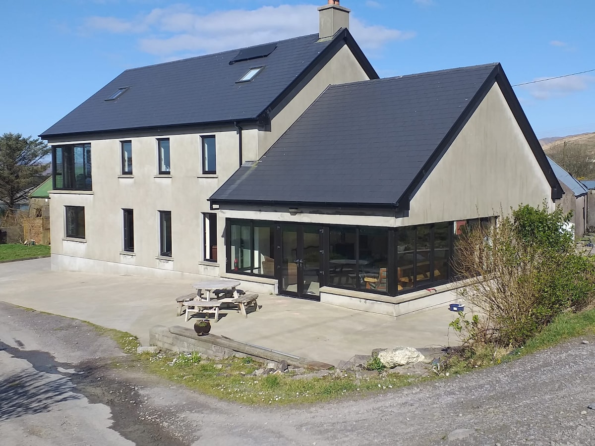 Killaneer HouseRuins · 1.2 mi
 Green HillMountain / peak · 2.3 mi
 Castle RockNamed rock · 3.1 mi
 The GlenWood · 3.5 mi
 Castle DerryCastle · 4.2 mi
 Irish National Forestry FoundationNature reserve · 4.2 mi
 Michael Collins MemorialMemorial · 4.3 mi
 Tobar MacloonaboySpring · 4.3 mi
 Towers (in Ruins)House, fortified house · 4.6 mi