What is recorded here
Mortons and others still call it a fairy fort because the ground rises into a double-ringed oval, yet the clear banks and possible east-north-east entrance mark it as an old human ringfort. Trees now crowd the adapted interior, and a ruined six-sided stone summer-house lies among them, giving the place a domesticated, forgotten charm. People may have lived, hidden, played or feared there before they planted trees and built a small house inside the ancient line.
Raised oval area (int. dims. 46.8m NNW-SSE; 41.4m ENE-WSW) enclosed by a slight outer earthen bank, intermediate fosse and substantial inner earthen bank. Original entrance may have been at ENE. Adapted for use as a tree-ring in modern times. An earthen bank with a shallow outer trench is built against the external face of the outer bank. In the interior, a small six-sided stone building, now in ruins, is most likely the remains of a summer-house. Both these features are almost certainly modern.
The above description is derived from the published 'Archaeological Inventory of County Cavan' (Dublin: Stationery Office, 1995). In certain instances the entries have been revised and updated in the light of recent research.
Date of upload/revision: 22 December 2008
The monument record does not grant public access. Check the route and ask the landowner before entering private land.
- What survives
- Recorded monument
Places near here
 Captain Thomas Sheridan IRAMonument · 926 yd
 BellvilleMountain / peak · 962 yd
 Fleming's FollyForest · 1007 yd
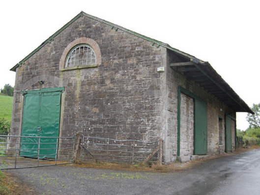 goods shedgoods shed · 1089 yd
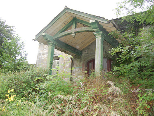 Crossdoney Railway Stationrailway station · 1102 yd
 Coolnacarrick ForestForest · 1210 yd
 IndicatedFairy fort / earthen ringfort · 1508 yd
 Castle CosbyCastle, unclassified · 1.1 mi
 Lismore CastleCastle, unclassified · 1.4 mi
 DrumcarbanMountain / peak · 1.6 mi
 Carricknagore RockNamed rock · 2.9 mi
 Red IslandIslet · 3.2 mi