What is recorded here
Half a century of quarrying and wall-building has bitten into the forty-metre ring at Bellanagarraun, yet the earth bank still marks a boundary on the galway rise. Men and women may have lived inside that circle before stones were taken from it, but the land keeps the shape while forgetting the names.
On a rise in gently undulating grassland. A poorly preserved circular rath (D c. 40m) defined by a bank. Quarrying has encroached upon the enclosing element at SW and N, and a field wall overlies it from W to N. Another field wall cuts the monument at NW and SE.
The above description is derived from the published 'Archaeological Inventory of County Galway Vol. II - North Galway'. Compiled by Olive Alcock, Kathy de hÓra and Paul Gosling (Dublin: Stationery Office, 1999).
Date of upload: 05 August 2010
The monument record does not grant public access. Check the route and ask the landowner before entering private land.
- What survives
- Recorded monument
Places near here
 Field system in AbbeytownField system · 960 yd
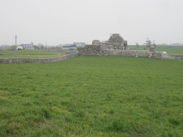 Grave YardGraveyard · 1036 yd
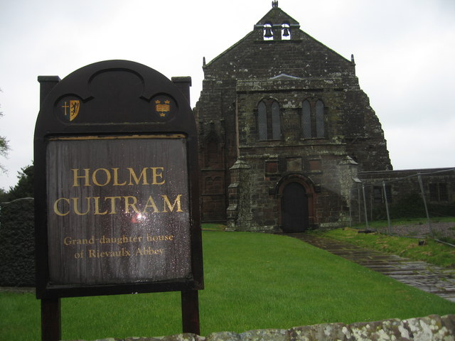 AbbeytownHouse, 18th/19th century · 1400 yd
 Religious houseReligious house, unclassified · 1.0 mi
 Shrule Castle in ruinsCastle, hall-house · 1.7 mi
 Shrule CastleCastle · 1.7 mi
 Pesooge PlantationForest · 2.0 mi
 Cregg PlantationForest · 2.4 mi
 Ross Errilly FriaryHeritage attraction · 4.0 mi
 Kilcoona Round TowerHeritage attraction · 4.6 mi
 Mass RockNamed rock · 4.8 mi
 Walsh's IslandIslet · 6.8 mi