What is recorded here
Behy More holds a broad earthen ring on a low ridge, watching the Busna and Black Rivers meet beside a working farm. Its bank still rises beside a fallen field fence, while nettles and thistles crowd the highest ground where people once lived or played. The entrance gap faces east, braced by two large stones, and local story whispers of a hidden passage beneath the grass.
In undulating pasture, on low ridge, overlooking the confluence of the Busna and Black Rivers, which lies 160m to SE. Ground falls away gently to W and S. Good views. There is a farmstead immediately to SE.
Raised circular area (30.4m N-S; 32.5m E-W) defined by bank (Wth. 5.3m; int. H 0.5m; ext. H 1.25m to E) and elsewhere by a substantial scarp (H 1.9m to W) elsewhere. A low stone kerb is evident on the inner face of the bank at N−E. On 1922 OS 6-inch map, a field fence is shown encircling the site. This was removed during land reclamation, except for a section at SSW−NNW. The intervening gap between the surviving arc of field fence (Wth 1.5m; H 0.6-1.1m) and the rath bank varies (5.7m to SSW; 4m to NW), but it may preserve the line of an infilled fosse. The rath interior is highest W-NW, sloping gently from there towards the entrance gap to E. The entrance survives as a broad slumped area (Wth 4.5m) faced on N side with two large stones. There is a local tradition of a Man-made underground passage (MA031-051001-) in the interior. There is a concentration of nettles and thistles in the highest part of the interior to NW; sycamore and hawthorn ring the bank.
Compiled by: Jane O'Shaughnessy
Date of upload: 19 June 2018
The monument record does not grant public access. Check the route and ask the landowner before entering private land.
- What survives
- Recorded monument
Places near here
 Enclosure in BallyholanEnclosure · 1605 yd
.JPG) IndicatedFairy fort / earthen ringfort · 1.6 mi
IndicatedFairy fort / earthen ringfort · 1.6 mi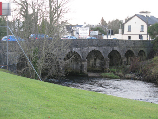 Bunree Bridgebridge · 1.7 mi
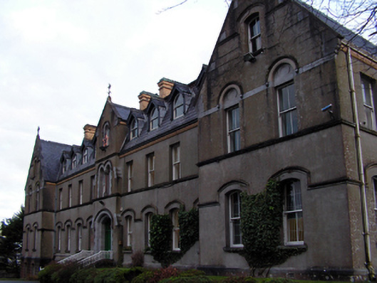 Saint Muredach's Catholic Collegeschool · 1.8 mi
 Belleck CastleCastle, unclassified · 1.9 mi
 Humbert MonumentMemorial · 2.2 mi
 FloretteWreck · 2.5 mi
 The Marshall Doran CollectionGallery · 2.5 mi
 Belleek WoodsWood · 2.6 miBattle of Ballinabattle · 2.7 mi
 Rinphilip PointHeadland · 3.6 mi
 Castleconnor (in Ruins)Castle, hall-house · 3.9 mi