What is recorded here
Magic and memory are entangled here. The fort is small enough to walk across in a breath, yet large enough to hold a life. The field has changed, the fort has faded, but the shape remains. What was built there is no longer certain. What is certain is that the earth still holds the outline of human intention.
Internal diameter 12m N-S, 13.5m E-W
A small stream runs immediately S of this site, which is situated in the corner of a field. This site was very much levelled during 1976-77 and is now barely distinguishable above the ground. It consists of a circular area enclosed by a 4m wide earthen bank. The bank rises to a maximum height of .7m.
The above description is derived from C. Toal, ‘North Kerry Archaeological Survey’. Dingle. Brandon in association with FAS Training and Employment Authority (1995), no. 389. In certain instances the entries have been revised and updated in the light of recent research.
Date of upload: 2 August 2013
The monument record does not grant public access. Check the route and ask the landowner before entering private land.
- What survives
- Recorded monument
Places near here
 Enclosure in BedfordEnclosure · 1689 yd
 John B. Keane GroveMemorial · 1691 yd
 Lartigue MonorailMuseum · 1709 yd
 Listowel Railway Stationstore/warehouse · 1709 yd
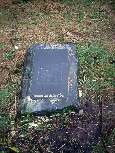 Thoumplebawn Burial Groundgraveyard/cemetery · 1718 yd
 ToberreendoneyHoly well · 1.0 mi
 Bryan MacMahonMemorial · 1.3 mi
 Kerry Writers' MuseumMuseum · 1.3 mi
 Listowel Castle (in ruins)Castle, tower house · 1.3 mi
 CastleCastle, tower house · 2.1 mi
 KnockanoreMountain / peak · 6.6 mi
 Siege of Carrigafoyle Castlesiege · 7.3 mi