What is recorded here
Fairy fort in Bawn, County Leitrim: a grass-covered circular earthen platform, 38m N-S and 36m E-W, rising 1m at the north to 2.8m at the south-west downslope, with interrupted stone-wall remains 1.5-3m wide and 0.2m high on the perimeter. It sits at the south edge of a broad low shelf, has no visible fosse or entrance, and belongs to the ringfort or rath kind. People may have lived, hidden or marked boundary there before the fairy name took it; the measureable earth and broken wall still show a made place, not a random mound.
Located at the S edge of a broad, low-lying shelf. This is a grass-covered circular earthen platform (diam. 38m N-S; 36m E-W; H 1m at N to 2.8m at SW, downslope) with the interrupted remains of a stone wall (Wth c.1.5-3m; H 0.2m) and some bushes visible on the perimeter. There is no visible fosse or entrance.
The above description is derived from 'The Archaeological Inventory of County Leitrim' compiled by Michael J. Moore (Dublin: Stationery Office, 2003). In certain instances the entries have been revised and updated in the light of recent research.
Date of upload: 23 September 2008
The monument record does not grant public access. Check the route and ask the landowner before entering private land.
- What survives
- Recorded monument
Places near here
 Enclosure in SliganaghEnclosure · 1403 yd
 MoteCastle, motte · 1569 yd
 Enclosure in MullanaskeaghEnclosure · 1597 yd
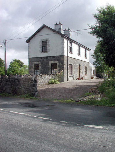 Dromahair Railway Stationworker's house · 1.0 mi
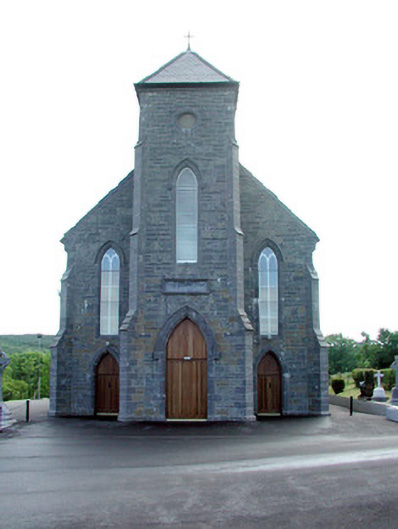 Saint Mary's Catholic Churchchurch/chapel · 1.1 mi
 Old HallCastle, hall-house · 1.2 mi
 Cullentra ForestForest · 2.2 mi
 Trawane BayBay · 2.6 mi
 InnisfreeIslet · 2.7 mi
 SlishwoodWood · 2.8 mi
 Slishwood Island EastIslet · 3.5 mi
 Parke's CastleHeritage attraction · 3.5 mi