What is recorded here
Magic and memory are not opposites. They are one system. The chamber is a place where that system can be seen. What resists understanding is not the person or the victim. It is the chamber itself. It feeds on confusion. It wants people to leave the facts and invent stories. Keep the facts sharp. Record what the chamber does. Deny it the confusion it needs.
In tillage, on N-facing slope. Depicted on 1842, 1904 and 1935 OS 6-inch maps ashachured circular enclosure (diam. c. 35m) with roadway running approx. N-S crossing E half of interior. Arc, formed by earthen bank (int. H 2.2m) with shallow external fosse (Wth 2m), survives on E side of roadway in roadside boundary. Bank heavily overgrown; some stone facing visible on inner face. Crop growing in field to W of roadway; no visible surface trace of levelled bank.
The above description is derived from the published 'Archaeological Inventory of County Cork. Volume 3: Mid Cork' (Dublin: Stationery Office, 1997). In certain instances the entries have been revised and updated in the light of recent research.
Date of upload/revision: 14 January 2009
The monument record does not grant public access. Check the route and ask the landowner before entering private land.
- What survives
- Recorded monument
Places near here
 Castle Barrett (in Ruins)Castle, Anglo-Norman masonry castle · 659 yd
 Castle BarrettCastle · 663 yd
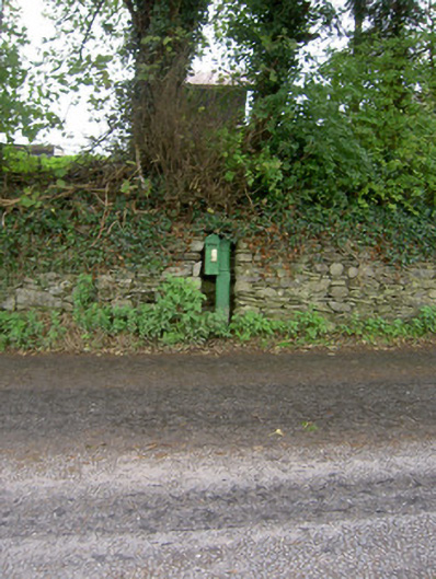 post boxpost box · 896 yd
 CaveMan-made underground passage · 910 yd
 Man-made underground passage in ClashmorganMan-made underground passage · 951 yd
 Ballynamona BrBridge · 1044 yd
 Blackwater WayWalking route · 3.2 mi
 Lyradane MountainMountain / peak · 3.5 mi
 Mallow River TrailVisitor information · 3.6 mi
 In loving memory of Elvis O'DonoghueMemorial · 3.6 mi
 Lover's LeapCliff · 3.9 mi
 Lover' LeapCliff · 3.9 mi