What is recorded here
Fort David still holds its circular shape on a gentle south-facing slope in Dromin, though farm buildings have eaten into its eastern and southern arcs. The earthen bank rises one metre inward and nearly two metres outward, enclosing a space now hidden beneath cow sheds and refuse rather than open sky. People may have lived inside this ring before they built upon it, turning an ancient boundary into a working farmyard. The fort does not disappear when forgotten; it becomes the foundation for forgetfulness itself.
In pasture, on a gentle S-facing slope. A circular area (c. 29m N-S; c. 28m E-W) defined by an earthen bank (Wth 3.1m; int. H 1m; ext. H 1.7m) SE-NE. A farm building has been built on the line of the bank at E. Farm buildings externally abut the S arc of the bank. There is a shed built into the bank along the SSW arc. Mature trees grow around the bank. The interior is obscured by a cow shed and farm refuse. This is probably 'Fort David', which was recorded in the 1840s as lying on the W boundary of Dromin (OSNB, Killorglin, no. 1, 15). There is no visible surface trace of the external fosse indicated, S-NW, on the 1895 OS 6-inch map.
Compiled by: Elizabeth Byrne, Ursula Egan and Sheila Ronan, Archaeological Survey Unit, University College, Cork.
Date of upload: 31 January 2011
The monument record does not grant public access. Check the route and ask the landowner before entering private land.
- What survives
- Recorded monument
Places near here
 Enclosure in BanshaghEnclosure · 1378 yd
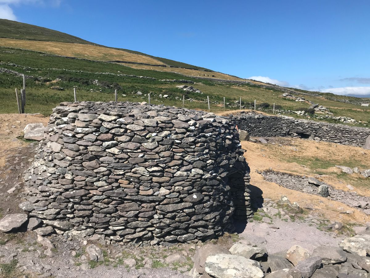
 Hut site in Dromin WestHut site · 1537 yd
 Clash IslandIslet · 1697 yd
 Cloon IslandIsland · 1747 yd
 Dungeel Church (in Ruins)Church · 1.2 mi
 Church in Dromavally (trughanacmy By., Killorglin Ed)Church · 1.2 mi
 King Puck statueMemorial · 1.3 mi
 CastleCastle, tower house · 1.4 mi
 Ballymalis Castle (in ruins)Castle, tower house · 3.1 mi
 The Kerry Creamery ExperienceHeritage attraction · 3.6 mi
 LisnagraveArchaeological place · 4.8 mi
 Dunloe Ogham StonesHeritage attraction · 6.1 mi