What is recorded here
The earth itself may have built the fort, dragging soil from beneath the field to form a ring where human hands never reached. Inside the bank, the ground rises slightly, as if the land still remembers the shape of what stood there before people learned to measure. The fairies did not hide the fort; they made it visible by refusing to let it disappear.
Internal diameter 26m N-S, 22m E-W
This univallate rath is situated in the corner of a field and has been enclosed by a fieldbank on all sides except the S. It consists of a sub-circular area which is enclosed by a well-defined earthen bank which is on average 5.7m wide at the base and rises to a maximum of 2.5m externally and 1.5m above the interior. The interior is at a higher level than the surrounding land, and a possible 2.4m wide entrance lies to the E.
The above description is derived from C. Toal, ‘North Kerry Archaeological Survey’. Dingle. Brandon in association with FAS Training and Employment Authority (1995), no. 669. In certain instances the entries have been revised and updated in the light of recent research.
Date of upload: 2 August 2013
The monument record does not grant public access. Check the route and ask the landowner before entering private land.
- What survives
- Recorded monument
Places near here
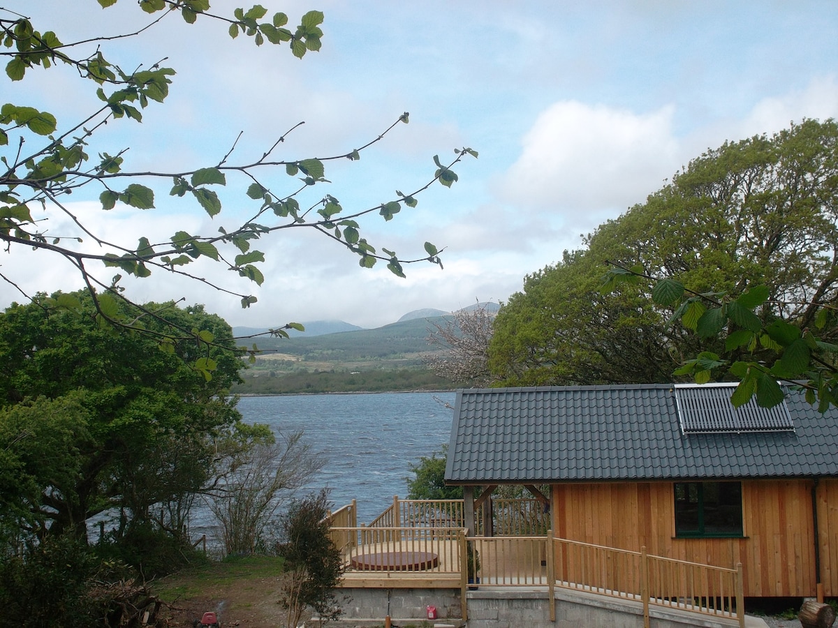 Enclosure in Banna EastEnclosure · 243 yd
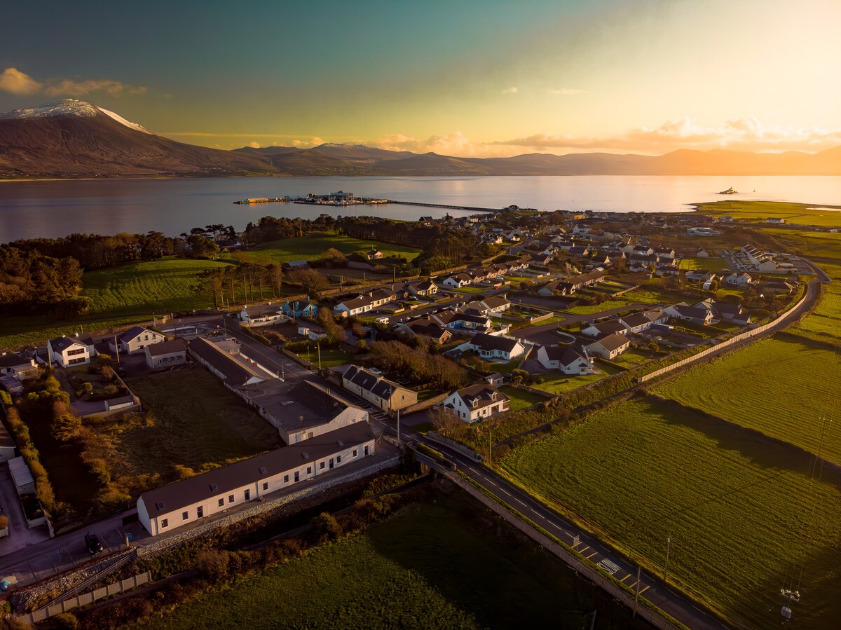 Enclosure in Banna SouthEnclosure · 502 yd
 Catholic Church of the Sacred Heartchurch/chapel · 1.3 mi
 CastleCastle, unclassified · 1.8 mi
 TemplenagriffinChurch · 2.0 mi
 Ardfert CathedralHeritage attraction · 2.1 mi
 15th Centenary of the birth of St-BredanMemorial · 2.1 mi
 Ardfert FriaryVisitor information · 2.1 mi
 Ardfert Franciscan FriaryVisitor information · 2.1 mi
 Statue of Roger CasementMemorial · 2.2 mi
 Banna StrandBeach / strand · 2.5 mi
 Our Lady's Holy WellSpring · 2.7 mi