What is recorded here
Fairy forts are usually earthen rings, but this one is a memory that has slipped its moorings. The 1840 map drew a circle near the hilltop, yet houses appeared by 1919 and a stray bank showed up fifty metres east in 1999. Either the fort moved, the surveyors guessed, or the land is telling two different truths. In Ballyvaskin North the boundary between fact and fantasy has become porous.
Near the top of a hill in undulating fertile pasture with panoramic views. Hachured as a ringfort only on the 1840 OS 6-inch map. By the 1919 Cassini edition houses had been built at the site. A very low earthen bank was noted N of one of the houses on inspection in 1999 but this is c. 50m E of the location as shown on the 1st edition. Not visible at ground level.
Compiled by: Mary Tunney
Date of upload: 19 November 2025
The monument record does not grant public access. Check the route and ask the landowner before entering private land.
- What survives
- Recorded monument
Places near here
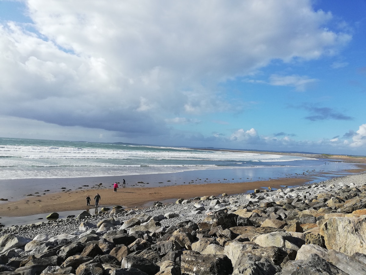 Enclosure in Ballyvaskin SouthEnclosure · 717 yd
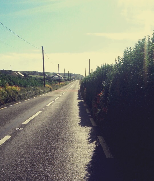 Enclosure in Rinneen (corcomroe By.)Enclosure · 1693 yd
 Kilfarboy Church (in Ruins)Church · 1702 yd
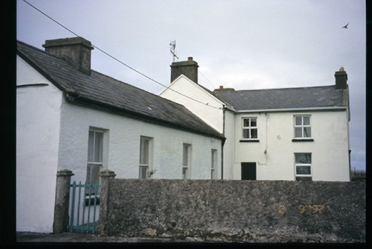 Station Houserailway station · 1.8 mi
 Kilcorcoran Grave YardArchaeological place · 1.8 mi
 Liscannor BayBay · 2.0 mi
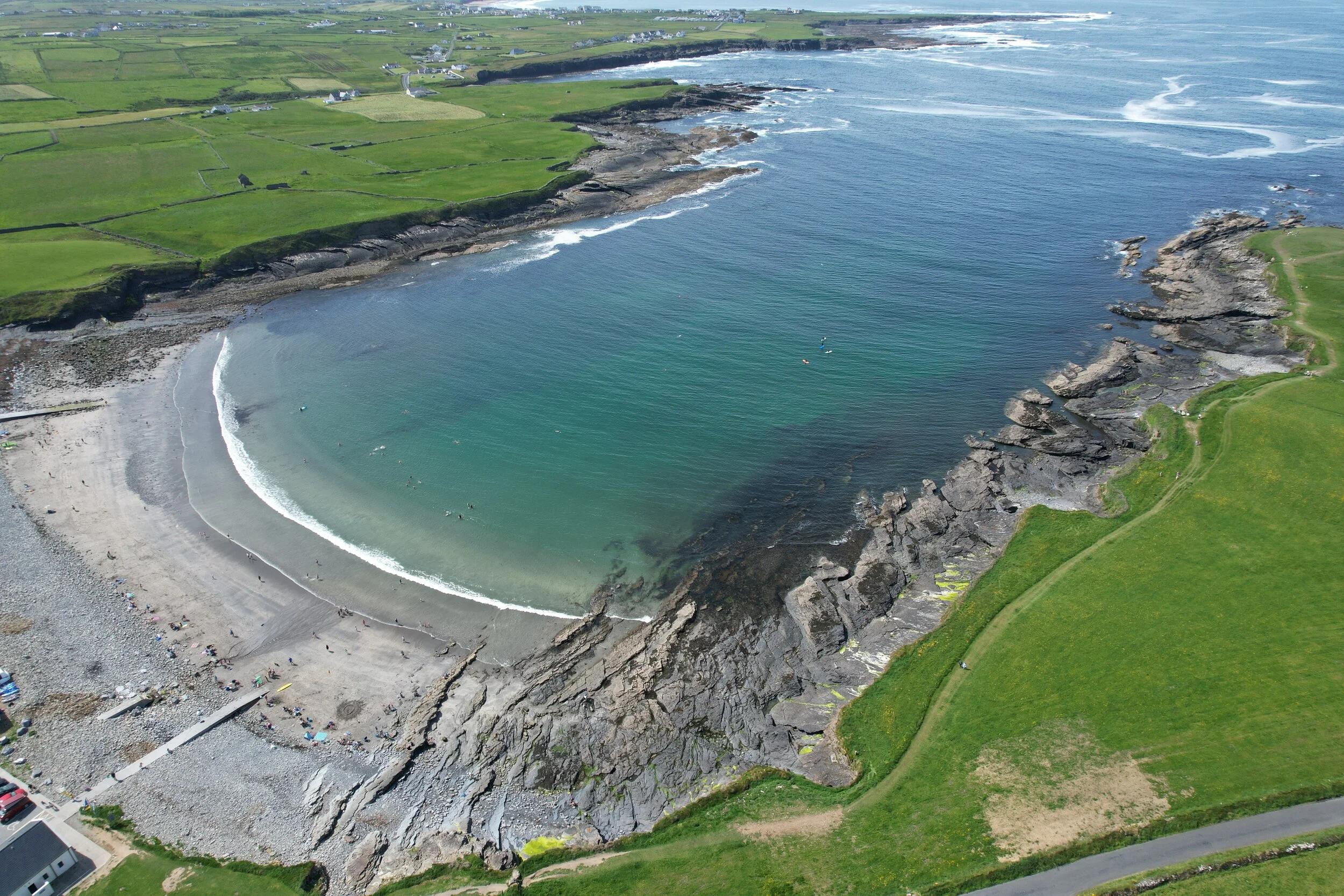 White StrandBeach / strand · 2.0 mi
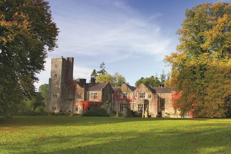 Freagh CastleRuins · 2.1 mi
 The Music Makers of West ClareMuseum · 2.1 mi
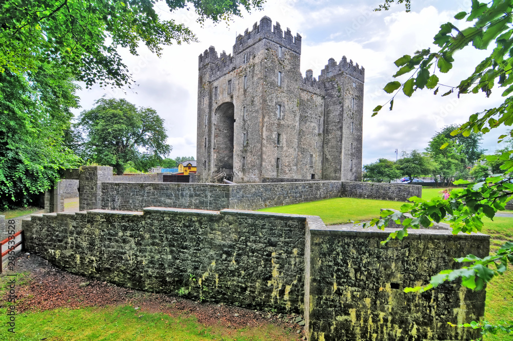 Freagh Castle (in Ruins)Castle, tower house · 2.1 mi
 Freagh PointHeadland · 2.2 mi
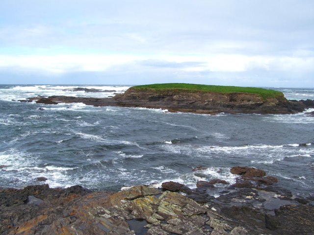 Freagh IslandIslet · 2.2 mi