What is recorded here
Magic is not required to explain why people avoided the hole. The earth rises ten centimetres above pasture, narrow enough that a child could span it with outstretched arms, yet marsh water still circles the place like a boundary drawn by somebody who understood danger. Trees and rotten timber fill the centre, making the old margin harder to see but not easier to forget. What was built there has stopped being useful to people, which is often the first sign it belongs elsewhere.
In rough-pasture, on flat terrain ringed by marshy ground NE->NW. Roughly circular area (19.5m N-S; 20.3m E-W) defined by scarped edge (H 1.05m; Wth 4.1m), best preserved NNE->SE. Interior is covered by overgrowth and its surface is very uneven due to dumping there of rotten timbers and tree stumps.
Compiled by: Denis Power
Date of upload: 26 August 2011
The monument record does not grant public access. Check the route and ask the landowner before entering private land.
- What survives
- Recorded monument
Places near here
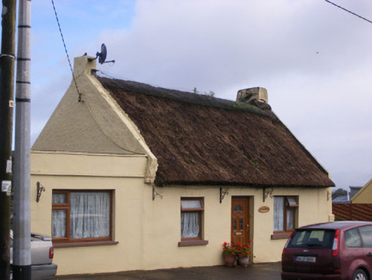 An Teach Tuíhouse · 505 yd
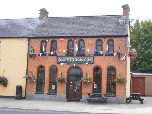 RIC barracksRIC barracks · 627 yd
 Ballyculhane CastleCastle · 1234 yd
 Kildimo (Old)Settlement cluster · 1481 yd
 Bolane CastleCastle · 1508 yd
 Enclosure in KildimoEnclosure · 1.2 mi
 Celtic Park and GardensHeritage attraction · 2.0 mi
 Stonehall Visitor FarmHeritage attraction · 2.9 mi
 Grass IslandIslet · 3.3 mi
 Maiden RockNamed rock · 3.4 mi
 Mellon PointHeadland · 3.5 mi
 St James's WellSpring · 3.5 mi