What is recorded here
Located on a slight W-facing slope. The faint cropmark of a circular enclosure with two enclosing features (int. diam. c. 30m; ext. diam. c. 40m) is visible on aerial photographs (ASIAP, WX 105, 31-3; MM (6) 18-20). It is conjoined with rath (WX053-081001-), which lies immediately to the N.
The above description is derived from the published 'Archaeological Inventory of County Wexford' (Dublin: Stationery Office, 1996). In certain instances the entries have been revised and updated in the light of recent research.
Compiled by: Michael Moore
Date of upload/revision: 21 March, 2014
The monument record does not grant public access. Check the route and ask the landowner before entering private land.
- What survives
- Recorded monument
Places near here
 The RingRuins · 351 yd
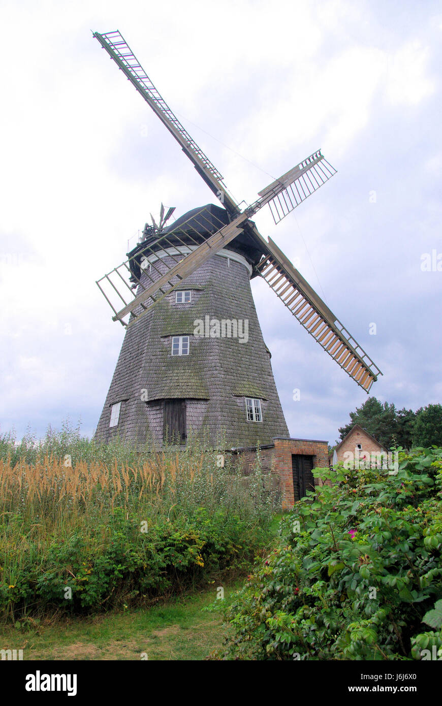 Wind MillWindmill · 474 yd
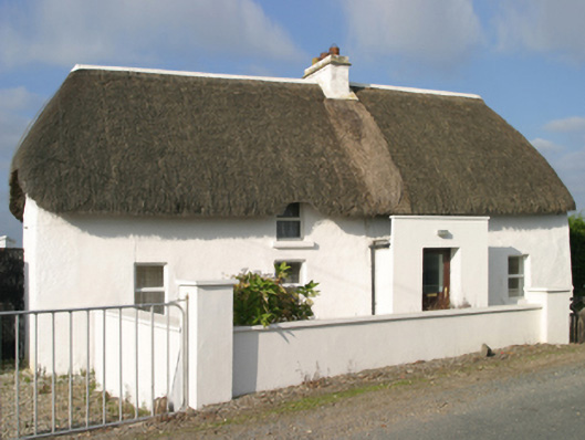 Sutton Cottagefarm house · 557 yd
 Site of CastleCastle, unclassified · 657 yd
 The Long StoneArchaeological place · 1059 yd
 InishIsland · 1275 yd
 CastleCastle, tower house · 1331 yd
 ScargeenIsland · 1635 yd
 Lady's IslandVisitor information · 1722 yd
 Carne BeachBeach / strand · 1.1 mi
 The CaamstoneNamed rock · 1.1 mi
 The Chour / The Hill of the ChourMountain / peak · 1.1 mi