What is recorded here
Ballyshanedehey holds a broken circular fort where cattle still walk through gaps in the ancient bank. Its shallow interior faces the south-east, while the remaining earth rises against the sky and shadows the land beyond. People may have lived there before memory, but the fairies took the shape back and keep it for themselves.
In pasture, on a very slight SSE-facing slope, with moderate views SW-W. Depicted on the 1840 ed. OSi 6-inch map as a raised circular-shaped area defined by a scarp. Shown on the 1897 ed. OSi 25-inch map as a raised circular-shaped area defined by a fosse. Surveyed in 1999 and described as a slightly raised sub-circular shaped area (dims. 28m N-S; 31m E-W) enclosed by a bank (Overall Wth 3.8m; int. H 0.1m; ext. H 0.95m) reduced to a scarp (H. 0.85m) at SW. Interior slopes to SSE, is dry and clear of overgrowth. Ramped entrances to interior at N (Wth 1.4m), at E (Wth 2m), at SE (1.95m) and cattle break (Wth 0.6m) at ESE. Monument visible as circular shaped area enclosed by bank and possible fosse from NW-N-E-SE on Digital Globe orthoimage taken between 2011-2013 and on Google Earth orthoimages.
See attached sketch plan surveyed and drawn by ASI, oblique aerial photograph (ASIAP) and Google Earth orthoimages
Compiled by: Fiona Rooney
Date of upload: 16 November 2021
The monument record does not grant public access. Check the route and ask the landowner before entering private land.
- What survives
- Recorded monument
Places near here
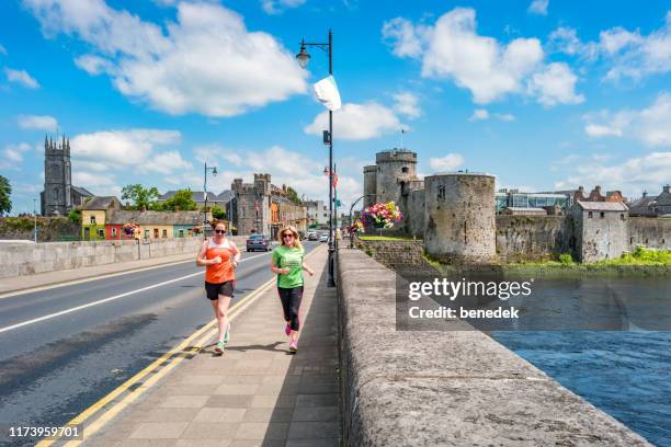 Ladys WellHoly well · 471 yd
 Ballymacshaneboy Castle (in ruins)Castle, unclassified · 1003 yd
 Partially hachuredEnclosure · 1048 yd
 Ardskeagh MoatCastle, motte · 1288 yd
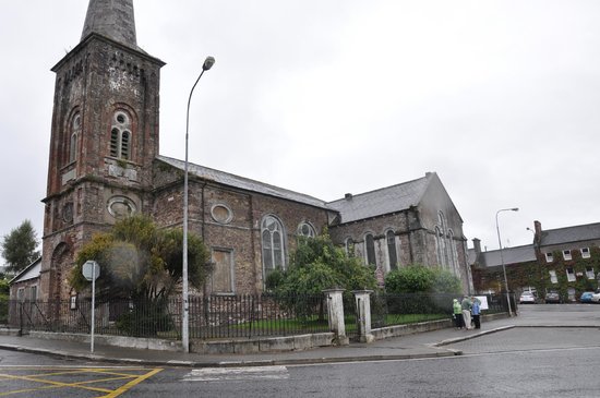 Ardskeagh Church (in Ruins)Church · 1531 yd
 Kilquane Church (in ruins)Church · 1640 yd
 BallinaboolaVisitor information · 1654 yd
 Caher HillMountain / peak · 1.1 mi
 Carron MountainMountain / peak · 1.9 mi
 ToberSpring · 2.3 mi
 Lady's WellSpring · 2.4 mi
 Holy Cross CemeteryGraveyard · 3.3 mi