What is recorded here
Fairy forts are misnamed; they are human ringforts, often farmed out or forgotten. Ballysallagh is one: a shallow circular bank in open pasture, its ditch reduced to a wet shadow or grass line. The shape still reads because the land has not buried it.
In level pasture. Depicted as hachured circular enclosure (diam. c. 55m) on 1842 OS 6-inch map; as hachured circular raised area (diam. c. 50m) on 1904 OS 6-inch map; as hachured circular area enclosed by fosse on 1935 OS 6-inch map. Levelled; site clearly visible as slightly raised roughly circular area (57m N-S; 52.8m E-W) with low bank (int. H 0.4m; ext. H 0.75m) NNW->ENE. External fosse survives to NE and E as deep waterlogged depression, as shallow depression to W and NW and as vegetation pattern to S. Interior level; farm trackway crosses E quadrant.
The above description is derived from the published 'Archaeological Inventory of County Cork. Volume 4: North Cork' (Dublin: Stationery Office, 2000). In certain instances the entries have been revised and updated in the light of recent research.
Date of upload/revision: 14 January 2009
The monument record does not grant public access. Check the route and ask the landowner before entering private land.
- What survives
- Recorded monument
Places near here
 Church (in Ruins)Church · 471 yd
 Holy Cross CemeteryGraveyard · 473 yd
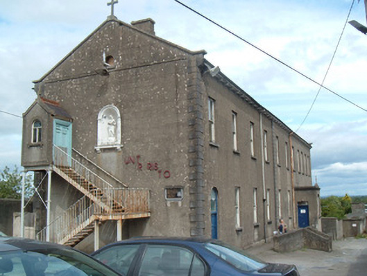 Charleville Christian Brothers' National Schoolsschool · 546 yd
 Moanboy FortFairy fort / earthen ringfort · 840 yd
 MoatEnclosure · 930 yd
 Bawn in CregganeBawn · 2.0 mi
 Castle Harrison on Site of Castle (19*Castle, unclassified · 2.0 mi
 ToberSpring · 2.3 mi
 Lady's WellSpring · 2.4 mi
 BallinaboolaVisitor information · 3.7 mi
 Caher HillMountain / peak · 4.3 mi
 CarrigeenMountain / peak · 4.3 mi