What is recorded here
Half a metre of soil and seven metres of forgotten width. The fort is so worn it has become a shallow bowl in the field, its eastern wall reduced to a gentle slope that disappears into the grass. What was once a boundary between inside and outside has been flattened into a place where the land simply dips, as if the house remembered shape but forgot walls.
Internal diameter 17m N-S, 18m E-W
A sub-circular univallate rath has been cut on its W side by a fieldbank running N-S. This site has been much levelled and the enclosing earthen bank is low, wide and barely visible; it is c 7m wide and .4m high. On the E side it survives only as a slight, gradual slope towards the interior, which is at the same level as the surrounding area.
The above description is derived from C. Toal, ‘North Kerry Archaeological Survey’. Dingle. Brandon in association with FAS Training and Employment Authority (1995), no. 616. In certain instances the entries have been revised and updated in the light of recent research.
Date of upload: 2 August 2013
The monument record does not grant public access. Check the route and ask the landowner before entering private land.
- What survives
- Recorded monument
Places near here
 Church in Kilfeighny NorthChurch · 1186 yd
 Enclosure in BallincraheenEnclosure · 1209 yd
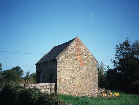 Crotta Housegate lodge · 1492 yd
 Enclosure in GlanballymaEnclosure · 1.3 mi
 Kilflynn Nature ReserveNature reserve · 2.1 mi
 CastleCastle, Anglo-Norman masonry castle · 2.2 mi
 Stack's MountainMountain / peak · 3.9 mi
 CruslineMountain / peak · 4.5 mi
 Ballymacaquinn Castle (remains of)Castle · 5.1 mi
 Tobar na MoltSpring · 6.6 mi
 Kerry Writers' MuseumMuseum · 6.8 mi
 Bryan MacMahonMemorial · 6.8 mi