What is recorded here
No stone or soil marks the fort now, yet a stream still forces a hole through the forgotten bank and escapes toward Ballyreehan Bridge. The water remembers the shape when human hands stop seeing it.
This circular enclosure is marked on the 1841-42 and 1914-15 OS maps. A small stream appears to rise in the interior, flow NW through the bank and then turn W towards Ballyreehan Bridge. This site can be picked up on the Geological Survey of Ireland's aerial photographs (1974) as a possible crop mark, but no surface trace survives.
The above description is derived from C. Toal, ‘North Kerry Archaeological Survey’. Dingle. Brandon in association with FAS Training and Employment Authority (1995), no. 615. In certain instances the entries have been revised and updated in the light of recent research.
Date of upload: 2 August 2013
A fairy fort or earthen ringfort in Ballyreehan East, likely dating to the early medieval period, is indicated by its circular enclosure and is recorded on early Ordnance Survey maps. Local tradition may associate the site with fairy folklore, as suggested by its name and the presence of a spring within the interior, which was often considered a liminal or sacred feature in Irish tradition.
The monument record does not grant public access. Check the route and ask the landowner before entering private land.
- What survives
- Recorded monument
Places near here
 Enclosure in BallincraheenEnclosure · 245 yd
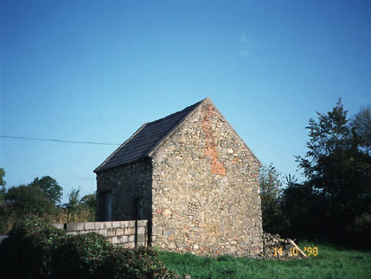 Crotta Housegate lodge · 1395 yd
 Enclosure in Liscullane (clanmaurice By., Kilcaragh Par.)Enclosure · 1585 yd
 Church in Kilfeighny NorthChurch · 1721 yd
 CastleCastle, Anglo-Norman masonry castle · 1.7 mi
 Kilflynn Nature ReserveNature reserve · 2.4 mi
 Stack's MountainMountain / peak · 4.4 mi
 Ballymacaquinn Castle (remains of)Castle · 4.7 mi
 CruslineMountain / peak · 4.9 mi
 Tobar na MoltSpring · 6.6 mi
 Kerry Writers' MuseumMuseum · 6.7 mi
 Bryan MacMahonMemorial · 6.7 mi