What is recorded here
Clear water flows through Bogga, joins the Shannon, and carries the district name toward the wider world. People lived beside that water long before written records, building shelters, growing food, and remembering the place through story. The fort stands as a marker of human presence, not as a completed explanation.
The Archaeological Survey of Ireland (ASI) is in the process of providing information on all monuments on The Historic Environment Viewer (HEV). Currently the information for this record has not been uploaded. To access available information for research purposes please make an appointment in advance with the Archive Unit (open Fridays 10.00 am – 5.00 pm), Department of Housing, Local Government and Heritage, The Custom House, Dublin 1 D01W6XO or email NMarchive@housing.gov.ie.
The monument record does not grant public access. Check the route and ask the landowner before entering private land.
- What survives
- Recorded monument
Places near here
 Man-made underground passage in BallymakegogeMan-made underground passage · 417 yd
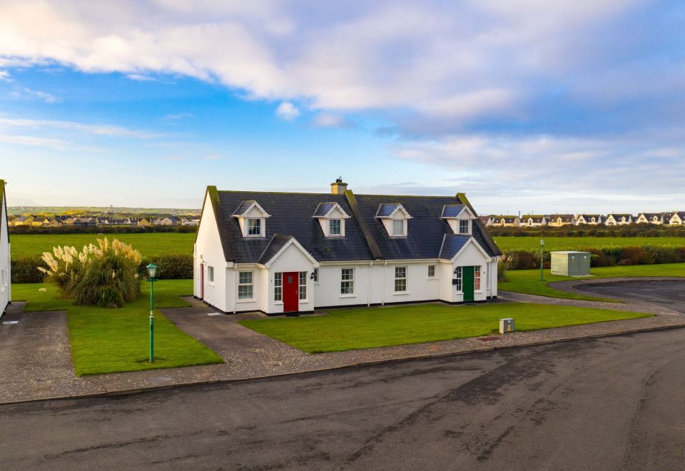 ToberreendoneyHoly well · 694 yd
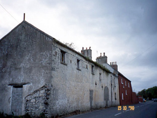 Kent Lodgegates/railings/walls · 1271 yd
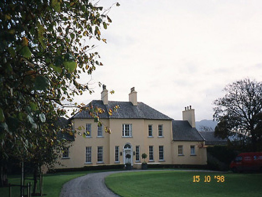 Churchill Houserectory/glebe/vicarage/curate's house · 1.1 mi
 CastleCastle, unclassified · 1.4 mi
 Derrymore Island Nature ReserveNature reserve · 1.8 mi
 CloghnacroustaNamed rock · 2.8 mi
 Site of CastleCastle, unclassified · 2.8 mi
 Statue of Roger CasementMemorial · 3.6 mi
 15th Centenary of the birth of St-BredanMemorial · 3.7 mi
 Ardfert CathedralHeritage attraction · 3.7 mi
 Tralee Equestrian CentreHeritage attraction · 3.8 mi