What is recorded here
Fairy fort in Ballymacshaneboy is a slightly raised earthen ring, about twenty-four metres across, with a broken bank, levelled interior and mature horse-chestnut trees on a north-facing pasture slope. It has stood through changing field boundaries, cattle traffic and human forgetting, yet it still marks itself in the land as a made shape rather than a random mound. The fairies may be a joke or a warning, but the ring is real, and it has outlived every person who once walked past it without naming what it was.
In pasture, on N-facing slope, with good views from W-E. Depicted on the 1840 ed. OSi 6-inch map as a raised circular-shaped area with trees and outcropping rock, defined by a scarp, lined with trees. Shown on the 1897 ed. OSi 25-inch map as a raised sub-circular shaped area defined by a scarp, incorporated into a field boundary, intersected at E and SW by a post-1700 field boundary running E-W. Surveyed in 1999 and described as a slightly raised sub-circular shaped area (dims. 24m N-S; 23.5m E-W) enclosed by a bank (Overall Wth 5.8m; int. H 0.3m; ext. H 2.1m) from S-W-N-E reduced to a scarp with possible fosse (D 0.6m) from E-S. Top of bank quarried into at S leaving a rectangular depression (dims 1.95m N-S; 4.3m E-W; D 1.1m) with spoil dumped into interior making bank appear wider. Interior has been levelled up to compensate for slope, is dry and planted with mature horse-chestnut trees. Cattle breaks in bank at NE (Wth 1.5m) and at SW (Wth 1.7m). Intersected at E and SW by field boundary running E-W. Scrub-covered monument visible on Digital Globe orthoimage taken between 2011-2013 and on Google Earth orthoimages.
See attached sketch plan surveyed and drawn by ASI and Google Earth orthoimages
Compiled by: Fiona Rooney
Date of upload: 16 November 2021
A fairy fort or earthen ringfort in Ballymacshaneboy is a circular earthen enclosure likely dating to the early medieval period, used as a defensive or agricultural settlement. It is associated with local folklore referring to it as a "fairy fort," reflecting beliefs in otherworldly inhabitants of such sites.
The monument record does not grant public access. Check the route and ask the landowner before entering private land.
- What survives
- Recorded monument
Places near here
 Partially hachuredEnclosure · 300 yd
 CairnCairn, unclassified · 412 yd
 Kilquane Church (in ruins)Church · 716 yd
 Caher HillMountain / peak · 1016 yd
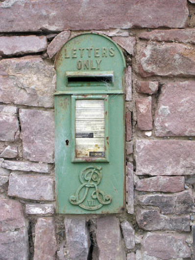 post boxpost box · 1051 yd
 Ballymacshaneboy Castle (in ruins)Castle, unclassified · 1058 yd
 BallinaboolaVisitor information · 1.1 mi
 Ardskeagh MoatCastle, motte · 1.3 mi
 Carron MountainMountain / peak · 1.4 mi
 ToberSpring · 2.6 mi
 Lady's WellSpring · 2.6 mi
 Holy Cross CemeteryGraveyard · 3.8 mi