What is recorded here
Ballyleary held a thirty-metre earthen ring on a north-facing slope before ploughs and progress erased it. The 1842 survey still caught its circular shadow, but human hands have since smoothed that memory into ordinary grass. What remains is a absence shaped like a room, large enough to have contained argument, birth, or the quiet work of living.
In rough grazing, on N-facing slope. Shown on 1842 OS 6-inch map as circular enclosure (diam. c. 30m). Levelled; no visible surface trace.
The above description is derived from the published 'Archaeological Inventory of County Cork. Volume 2: East and South Cork' (Dublin: Stationery Office, 1994). In certain instances the entries have been revised and updated in the light of recent research.
Date of upload/revision: 14 January 2009
The monument record does not grant public access. Check the route and ask the landowner before entering private land.
- What survives
- Recorded monument
Places near here
 Folacht FiannFulacht fia · 333 yd
 Ballycurrany Grave YardBurial ground · 528 yd
 KilnKiln, lime · 1401 yd
 Curragh WoodsWood · 1453 yd
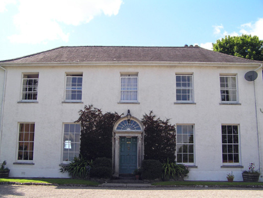 Glenviewcountry house · 1532 yd
 Leamlara Castle (in Ruins)Castle, tower house · 2.0 mi
 Graveyard in Broomfield WestGraveyard · 2.6 mi
 Barryscourt CastleCastle · 2.9 mi
 Barrys Court Castle, Tower(s)Castle, tower house · 2.9 mi
 Noel Collins BridgeVisitor information · 3.8 mi
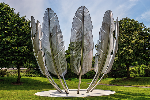 Kindred SpiritsMemorial · 3.8 mi
 Ballyannan (Bluebell) WoodsForest · 3.9 mi