What is recorded here
In level farmland. Poorly preserved almost circular rath (24.5m WSW-ENE; 23.3m NW-SE) defined by a bank. Field-clearance rubble obscures the bank at N.
Compiled by: Galway Archaeological Survey, UCG
Date of upload: 17 October 2016
A local fairy fort (ringfort/rath); wider significance not recorded.
The monument record does not grant public access. Check the route and ask the landowner before entering private land.
- What survives
- Recorded monument
Places near here
 IndicatedFairy fort / earthen ringfort · 210 yd
 Mine in CaherglassaunMine · 843 yd
 Enclosure in CaherglassaunEnclosure · 1286 yd
 Castle in ruinsCastle, unclassified · 1509 yd
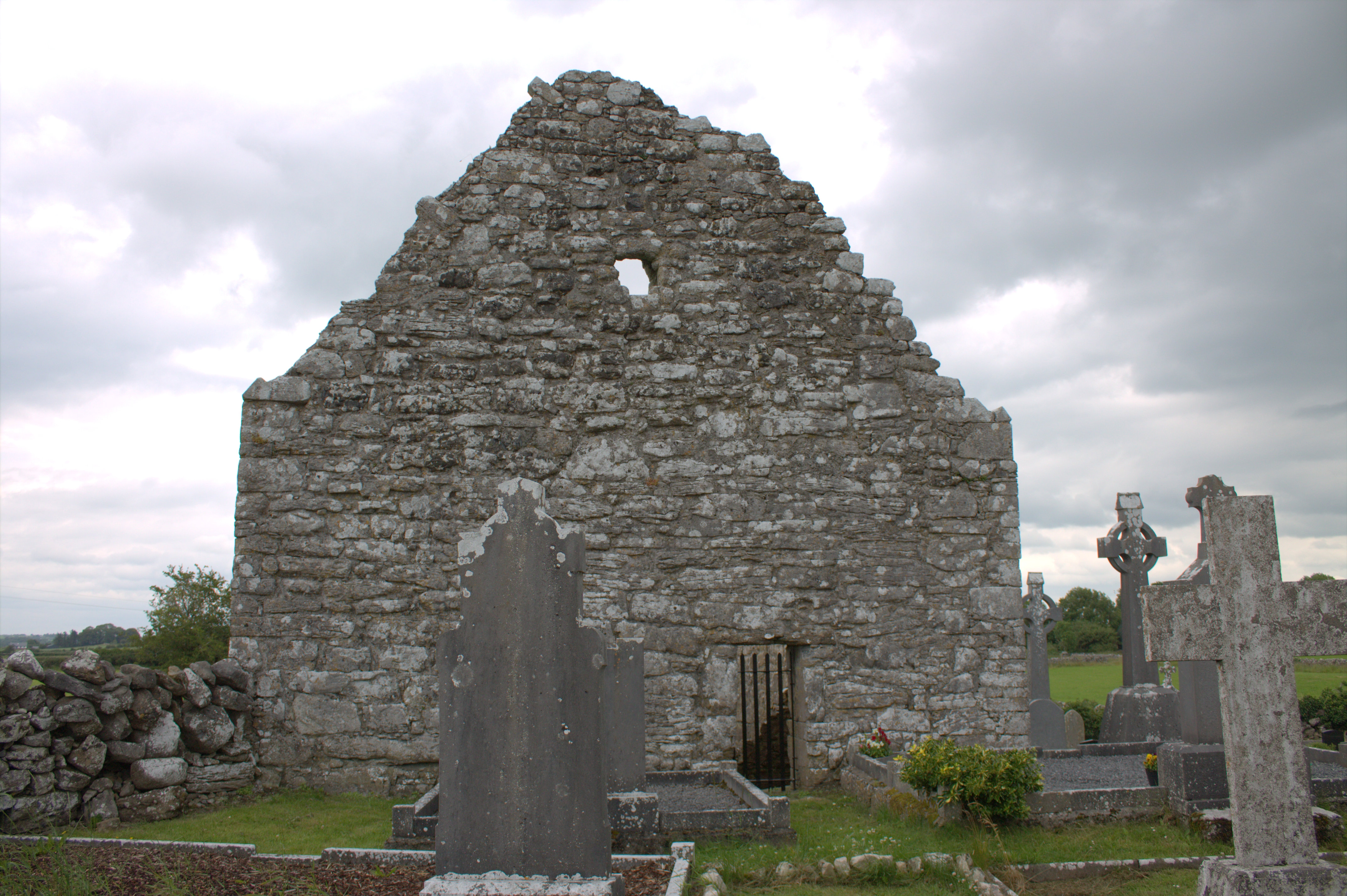 Killomoran Church (in ruins)Church · 1598 yd
 Cahererillan CastleCastle · 1.7 mi
 Coole-Garryland Nature ReserveNature reserve · 2.2 mi
 Coole ParkWood · 2.6 mi
 Mulroney's IslandIslet · 3.7 mi
 Cusheen IslandIslet · 4.1 mi
 Kilmacduagh Monastic SiteVisitor information · 4.1 mi
 Kilmacduagh MonasteryHeritage attraction · 4.2 mi