What is recorded here
Fairy forts in Ballycurrany West are earthen rings, not magical palaces. The local ring measures twenty-eight metres across, keeps a one-metre ridge from southeast to north, and lies in farmland on a west-facing slope. People may have lived there before fields took the rest.
In tillage, on W-facing slope. Hachured on 1842 OS 6-inch map as oval enclosure. Interior of site (diam. 28m) now defined by curve in earthen field fence (H 1m) SE->N. Levelled elsewhere.
The above description is derived from the published 'Archaeological Inventory of County Cork. Volume 2: East and South Cork' (Dublin: Stationery Office, 1994). In certain instances the entries have been revised and updated in the light of recent research.
Date of upload/revision: 14 January 2009
The monument record does not grant public access. Check the route and ask the landowner before entering private land.
- What survives
- Recorded monument
Places near here
 Ballycurrany Grave YardBurial ground · 269 yd
 Folacht FiannFulacht fia · 594 yd
 KilnKiln, lime · 642 yd
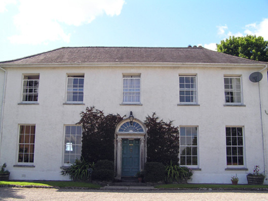 Glenviewcountry house · 1482 yd
 Curragh WoodsWood · 1656 yd
 Leamlara Castle (in Ruins)Castle, tower house · 1.8 mi
 Graveyard in Broomfield WestGraveyard · 2.7 mi
 Barryscourt CastleCastle · 3.4 mi
 Barrys Court Castle, Tower(s)Castle, tower house · 3.4 mi
 Nellie Cashman MonumentMemorial · 3.5 mi
 Noel Collins BridgeVisitor information · 4.0 mi
 Moanbaun ForestForest · 4.2 mi