What is recorded here
Fairy fort in Ballycahill, County Galway: an earthen ringfort on a grassy rise, partly erased but still measurable at twenty-two metres across. People may have lived there before the land forgot them, or fairies may have taken the shape and kept it changeable. The surviving bank and ditch mark a boundary between human certainty and local belief, inviting both wonder and caution.
On a rise in gently rolling grassland. Poorly preserved almost circular rath (22.8m E-W; 21.9m N-S) defined by a bank at NW and elsewhere by a scarp. The fosse only survives from W to N.
Compiled by: Galway Archaeological Survey, UCG
Date of upload: 13 October 2016
The monument record does not grant public access. Check the route and ask the landowner before entering private land.
- What survives
- Recorded monument
Places near here
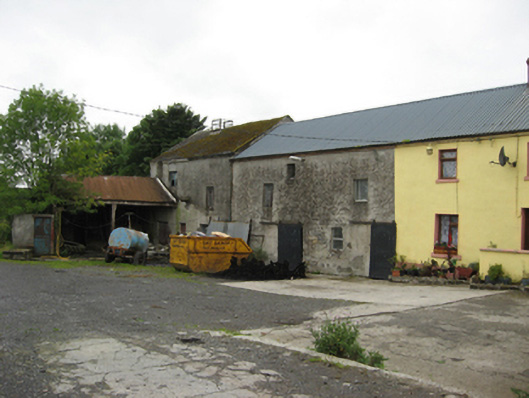 Ballycahill Millmill (water) · 231 yd
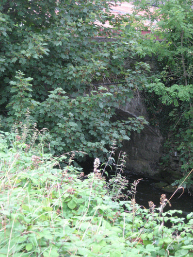 bridgebridge · 255 yd
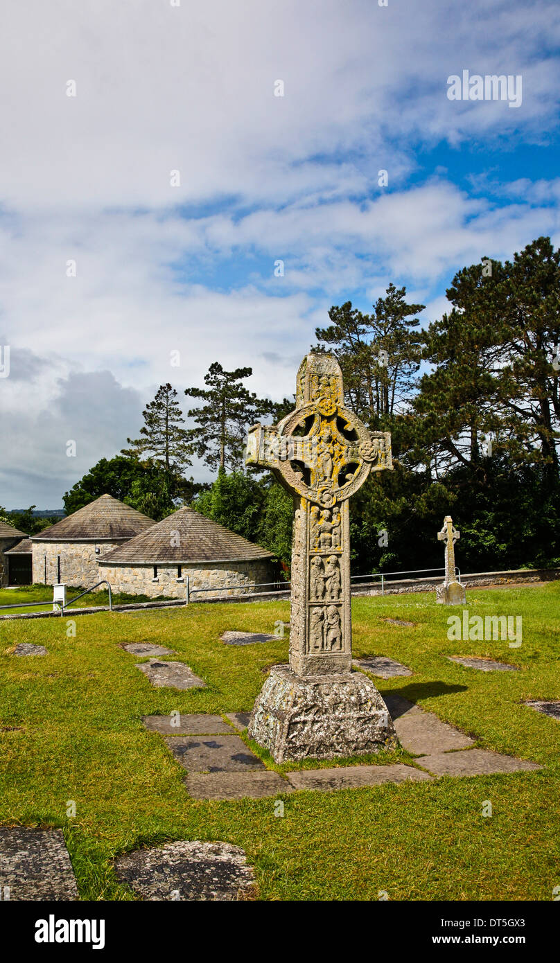 Site of CrossCross · 1095 yd
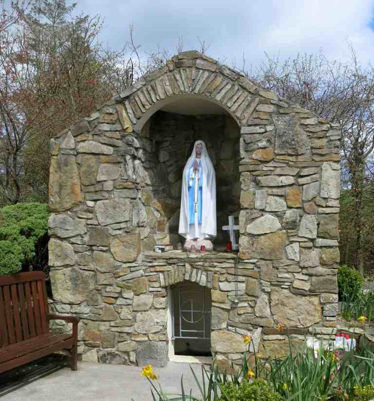 Holy WellHoly well · 1104 yd
 Site of CastleCastle, unclassified · 2.0 mi
 Church HillMountain / peak · 3.0 mi
 Quarryhill WoodWood · 3.4 mi
 Bog WoodForest · 3.5 mi
 Pallas CastleCastle, tower house · 3.5 mi
 Portumna Castlegate lodge · 5.7 mi
 Hayes IslandIsland · 6.3 mi
 Redmond HillMountain / peak · 7.7 mi