What is recorded here
In gentle undulating pasture on a slight SE-facing slope, immediately E of railway line, 40m S of the townland boundary with Ballybronoge North. No surface remains visible. Depicted on the 1840 OS 6-inch map as a circular shaped tree planted enclosure (approx. diam. 40m). Not marked on subsequent OS editions, likely that monument was levelled between the map dates. No surface remains visible of levelled monument on Google Earth orthoimage taken 14/02/2020. Possible levelled ringfort.
See attached Google Earth orthoimages
Compiled by: Fiona Rooney
Date of upload: 9 July 2020
The monument record does not grant public access. Check the route and ask the landowner before entering private land.
- What survives
- Recorded monument
Places near here
 Enclosure in BallycarraneEnclosure · 489 yd
 Settlement desertedSettlement deserted, medieval · 688 yd
 bridgebridge · 751 yd
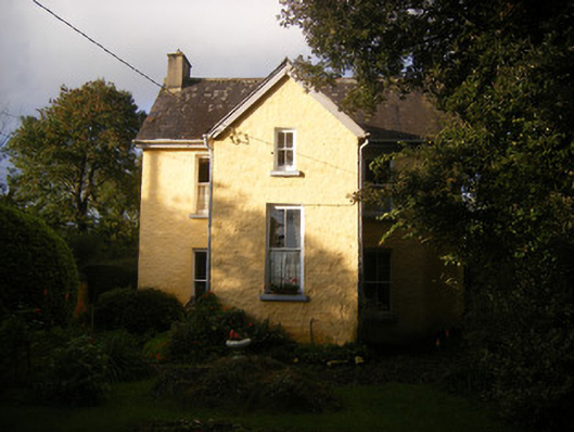 The Villahouse · 793 yd
 Ballinveala Castle (in ruins)Castle, tower house · 2.1 mi
 Fanningstown Castle (in ruins)Castle, tower house · 2.6 mi
 European ashEuropean ash · 4.2 mi
 Dysert AenghusaHeritage attraction · 4.5 mi
 Biodiversity in the Maigue CatchmentVisitor information · 4.5 mi
 Monasteranenagh AbbeyHeritage attraction · 5.5 mi
 Kinnoor WellSpring · 5.7 mi
 Flat cemetery in Kiltenan SouthFlat cemetery · 6.0 mi