What is recorded here
In grassland, in SE corner of field, 255m W of a designed landscape feature (LI012-138----) and 310m W of two fulacht fia (LI021-183-/-178----). Depicted on the OS 6-inch map as a circular shaped area (approx. diam. 34m) enclosed by a bank, immediately N of the townland boundary (tree lined) with Ballybronoge South and S of Spring Lodge. On the OS 25-inch map it is depicted as a raised circular-shaped area (approx. diam. 17m) defined by a scarp from NE through to SE and W through to NNW (approx. overall dims. E-W 38m). Visible on the Google Earth orthoimage taken in 2018 as a circular shaped area enclosed by trees with townland boundary visible to S.
See attached Google Earth orthoimages
Compiled by: Fiona Rooney
Date of upload: 19 June 2020
The monument record does not grant public access. Check the route and ask the landowner before entering private land.
- What survives
- Recorded monument
Places near here
 bridgebridge · 57 yd
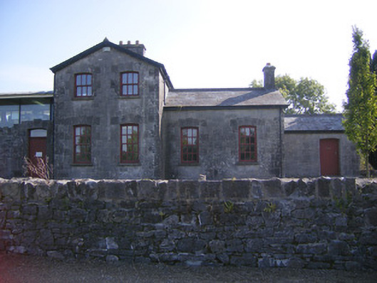 Patrickswell Railway Stationrailway station, signal box · 155 yd
 Designed landscape feature in AttyflinDesigned landscape feature · 304 yd
 Settlement desertedSettlement deserted, medieval · 843 yd
 Ballinveala Castle (in ruins)Castle, tower house · 2.1 mi
 Castle FieldCastle, unclassified · 2.3 mi
 Dysert AenghusaHeritage attraction · 4.8 mi
 Monasteranenagh AbbeyHeritage attraction · 5.5 mi
 Kinnoor WellSpring · 6.0 mi
 Flat cemetery in Kiltenan SouthFlat cemetery · 6.4 mi
 Grass IslandIslet · 6.8 mi
 Maiden RockNamed rock · 7.1 mi