What is recorded here
Fairy forts and earthen ringforts in Ballybrian. This is a circular rath, forty-two metres across, set in low-lying grassland. Its bank has mostly vanished from the west through the north to the northeast, leaving only faint traces of an outer ditch along the south and southwest. What remains is a shallow suggestion of a boundary, the kind of place where human hands shaped the earth and time took it back.
In low-lying grassland. Poorly preserved circular rath (D 42m) defined by a bank, no visible surface trace of which survives from W through N to NNE. Slight traces of an external fosse are visible from SE through S to SW.
The above description is derived from the published 'Archaeological Inventory of County Galway Vol. II - North Galway'. Compiled by Olive Alcock, Kathy de hÓra and Paul Gosling (Dublin: Stationery Office, 1999).
Date of upload: 05 August 2010
The monument record does not grant public access. Check the route and ask the landowner before entering private land.
- What survives
- Recorded monument
Places near here
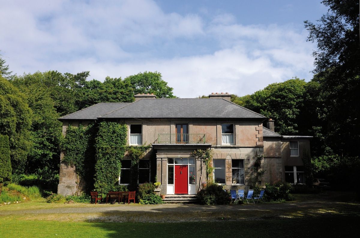 Enclosure in DoocreggaunEnclosure · 530 yd
 St. Commadans Holy WellHoly well · 1275 yd
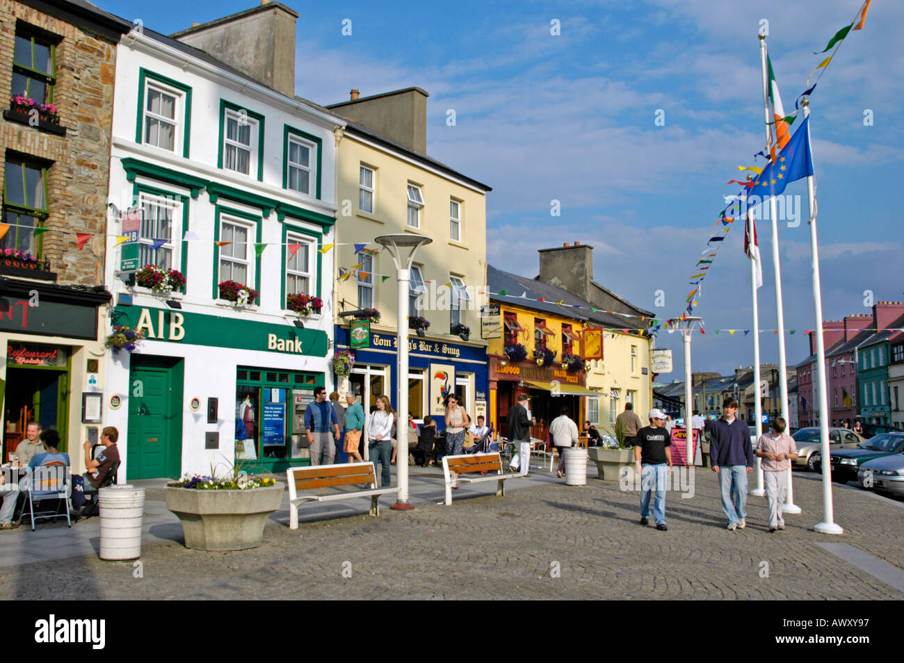 IndicatedHouse, 18th/19th century · 1479 yd
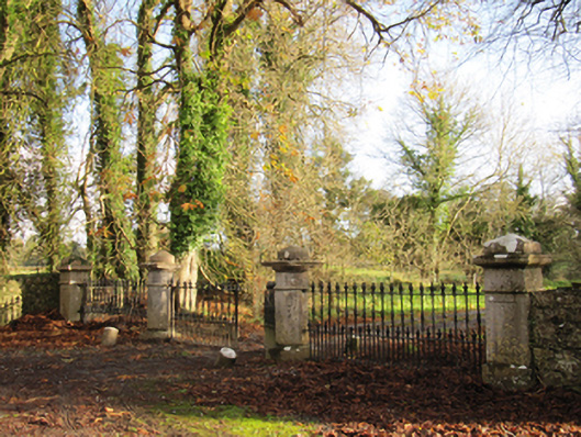 Liskelly Housedemesne walls/gates/railings · 1.0 mi
 Park CastleCastle, hall-house · 1.3 mi
 Battle of AughrimMajor battlefield · 1.4 mi
 The bloody HollowHeritage attraction · 1.5 mi
 Bawn in Cooltymurraghy (clonmacnowen By.)Bawn · 1.7 mi
 Battle of Aughrim Interpretative CentreMuseum · 1.9 mi
 Urraghry HillMountain / peak · 2.5 mi
 Oak WoodWood · 2.6 mi
 European BeechEuropean Beech · 3.8 mi