What is recorded here
Forty metres of earthen bank still circle a grassy hillock in Ballyboy, though modern breaches and surrounding field boundaries have blurred its edges. The subcircular rath likely served as a fortified home or boundary marker during the Iron Age, using the natural slope to strengthen its defences. Its poor preservation hides whether an external ditch once existed, leaving the fort both visible and half-forgotten.
On a hillock in grassland. Named ‘Fort’ on OS Fair Plan. A poorly preserved subcircular rath (40m NW-SE; 37m NE-SW) defined by a bank. The fosse-like feature inside the bank at SE may be due to the natural slope of the hillock. Several breaches appear to be modern. A field boundary surrounds the enclosing element obscuring an traces of an external fosse.
Compiled by: Galway Archaeological Survey, UCG
Date of upload: 13 October 2016
The monument record does not grant public access. Check the route and ask the landowner before entering private land.
- What survives
- Recorded monument
Places near here
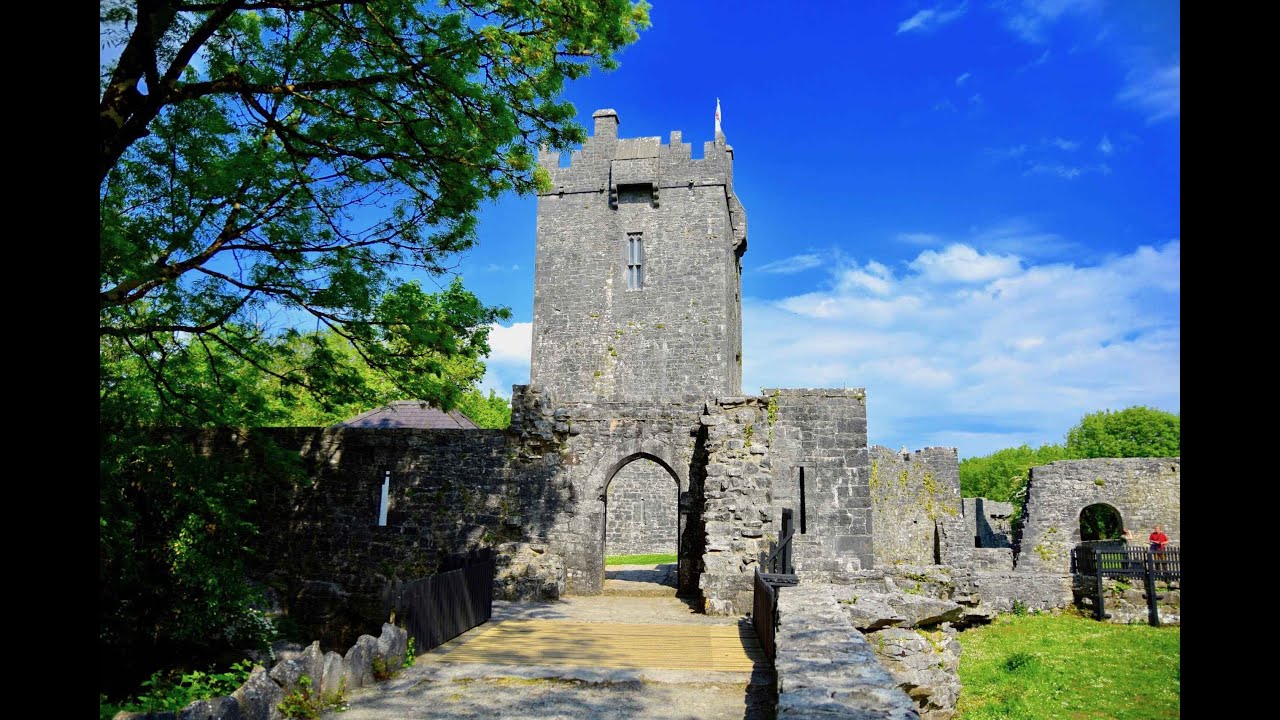 Enclosure in Sheeaun (kiltartan By.)Enclosure · 870 yd
 CaveMan-made underground passage · 1043 yd
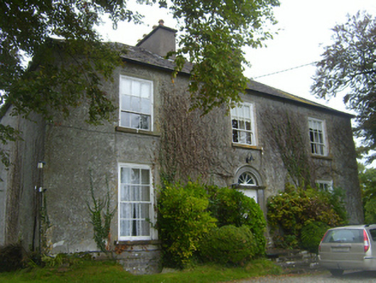 Lisheen Housecountry house · 1096 yd
 Ashfield Ho.House, 18th/19th century · 1.2 mi
 Kilmacduagh MonasteryHeritage attraction · 1.6 mi
 Kilmacduagh Monastic SiteVisitor information · 1.7 mi
 Shanclogh Glebe House (in ruins)Castle, hall-house · 1.7 mi
 Bunnakippaun Castle (in ruins)Castle, unclassified · 1.8 mi
 Swan IslandIsland · 2.3 mi
 Apple IslandWood · 2.5 mi
 Keaghery IslandWood · 2.5 mi
 Castle IslandIsland · 2.7 mi