What is recorded here
Situated on a level landscape. The cropmark of a circular enclosure (diam. c. 30m) defined by a single fosse feature is visible on aerial photographs (MM (16) 31-3).
The above description is derived from the published 'Archaeological Inventory of County Wexford' (Dublin: Stationery Office, 1996). In certain instances the entries have been revised and updated in the light of recent research.
Date of upload/revision: 12 April, 2012
Amended; 6 May, 2014
The monument record does not grant public access. Check the route and ask the landowner before entering private land.
- What survives
- Recorded monument
Places near here
 Fulacht fia in BalloughterFulacht fia · 532 yd
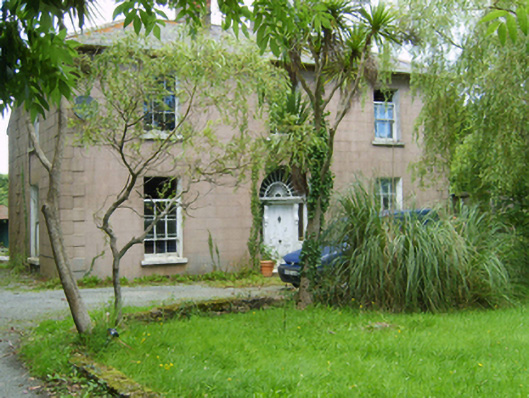 Catholic Church of the Sacred Heartpresbytery/parochial/curate's house · 633 yd
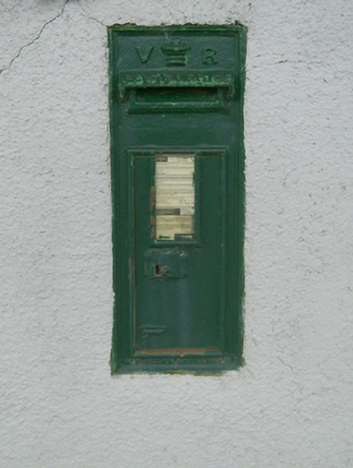 post boxpost box · 664 yd
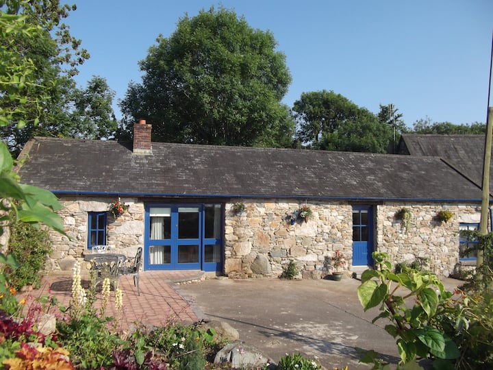 Habitation site in Ballygullen (gorey By., Balloughter Ed)Habitation site · 1502 yd
 Boley HillMountain / peak · 1.3 mi
 Milshoge RockMountain / peak · 1.6 mi
 Giants BedNamed rock · 2.2 mi
 Barnadown WoodWood · 2.5 mi
 The GroveWood · 3.2 mi
 Father Murphy CentreHeritage attraction · 4.7 mi
 1798 MonumentMemorial · 5.1 mi
 Market HouseHeritage attraction · 5.4 mi