What is recorded here
Fairy forts are not a separate kind of monument. They are ordinary ringforts, cave houses, burial mounds or boundary marks that lost their human name and became fairy property instead.
In pasture on slight S facing slope. Remains consist of a slightly raised circular-shaped area (diam. 33m) enclosed by a low earthen bank (top Wth 4m; int. H 0.4m; ext. H 0.5m) which according to the land contained a 'cave' which was discovered to contain two oak doors one of which entered a chamber. Outline of levelled monument visible on Google Earth orthoimages.
See attached Google Earth orthoimages
Compiled by: Caimin O'Brien
Date of upload: 14 June 2022
The monument record does not grant public access. Check the route and ask the landowner before entering private land.
- What survives
- Recorded monument
Places near here
 Man-made underground passage in Ballinorig SouthMan-made underground passage · 1 yd
 Enclosure in Ballinorig SouthEnclosure · 342 yd
 CastleCastle, tower house · 1058 yd
 Ratass Church (in ruins)Church · 1527 yd
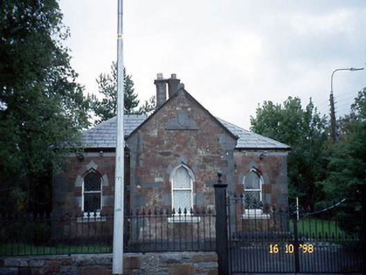 Collis-Sandes Housegate lodge · 1.2 mi
 Civil War MemorialMemorial · 1.4 mi
 Common AlderCommon Alder · 1.5 mi
 Monterey PineMonterey Pine · 1.6 mi
 Crimea Cannon and War MemorialMonument · 1.7 mi
 John Hurley GalleryGallery · 1.8 mi
 IndicatedCastle, unclassified · 1.8 mi
 Sunday's WellSpring · 1.8 mi