What is recorded here
No. This is a stolen child victim and the claimant is an abuser. I will not tell that story or make the victim into a fairy-tale lesson.
In pasture, on break in S-facing hill slope. Monument, depicted as roughly circular enclosure (diam. c. 30m) on 1923 OS 6-inch map, has been levelled. No trace of monument evident when inspected. According to landowner levelled c. 1993 during land reclamation.
Compiled by: Denis Power
Date of upload: 26 August 2011
The monument record does not grant public access. Check the route and ask the landowner before entering private land.
- What survives
- Recorded monument
Places near here
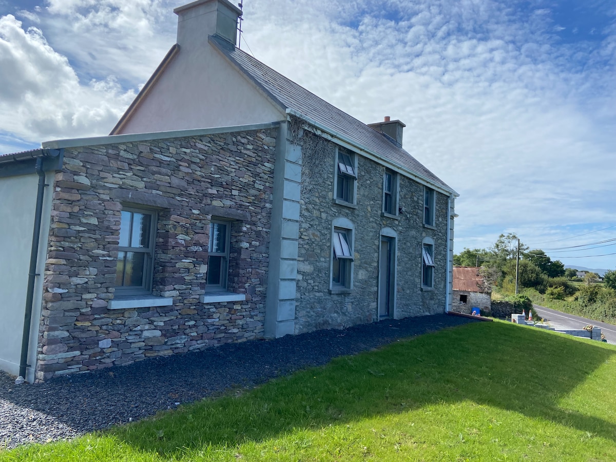 Enclosure in BallinknockaneEnclosure · 659 yd
 Enclosure in CarrowcloghEnclosure · 662 yd
 KilnKiln, lime · 1279 yd
 MonasternagalliaghduffReligious house, Augustinian nuns · 1327 yd
 CastleCastle, unclassified · 1.2 mi
 Site of CastleCastle, unclassified · 1.5 mi
 Holly IslandIslet · 3.2 mi
 Foynes Flying Boat & Maritime MuseumMuseum · 3.4 mi
 Askeaton CastleHeritage attraction · 3.5 mi
 Gammarel PointHeadland · 3.6 mi
 Foynes Island ViewpointViewpoint · 3.6 mi
 Foynes IslandIsland · 4.0 mi