What is recorded here
Thirty metres of packed earth still stand on the north-facing slope at Ballingarrane, marking a boundary drawn before human memory. The east half has surrendered to brambles and shadow, while the west edge remains sharp enough to cut a knife. People called it a fairy fort because the shape refused explanation, yet the bank is human in its patience. What lives inside the green darkness now is neither proven nor dismissed, only waited for.
In pasture, on N-facing slope. Circular area (30m N-S) defined by earthen bank (H 1.5m). E half interior heavily overgrown.
The above description is derived from the published 'Archaeological Inventory of County Cork. Volume 2: East and South Cork' (Dublin: Stationery Office, 1994). In certain instances the entries have been revised and updated in the light of recent research.
Date of upload/revision: 14 January 2009
The monument record does not grant public access. Check the route and ask the landowner before entering private land.
- What survives
- Recorded monument
Places near here
 SunvilleCountry house · 1572 yd
 Enclosure in Ballybane (imokilly By.)Enclosure · 1583 yd
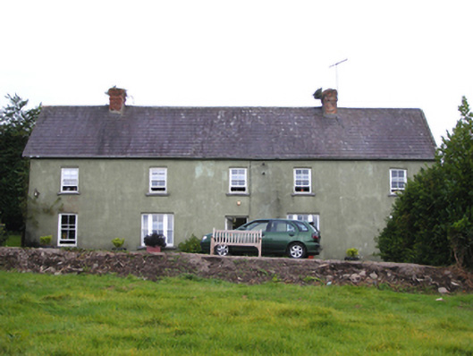 Snugboroughfarm house · 1739 yd
 Enclosure in Ballymaloe MoreEnclosure · 1.0 mi
 CastleCastle, tower house · 1.1 mi
 PohutukawaPohutukawa · 3.6 mi
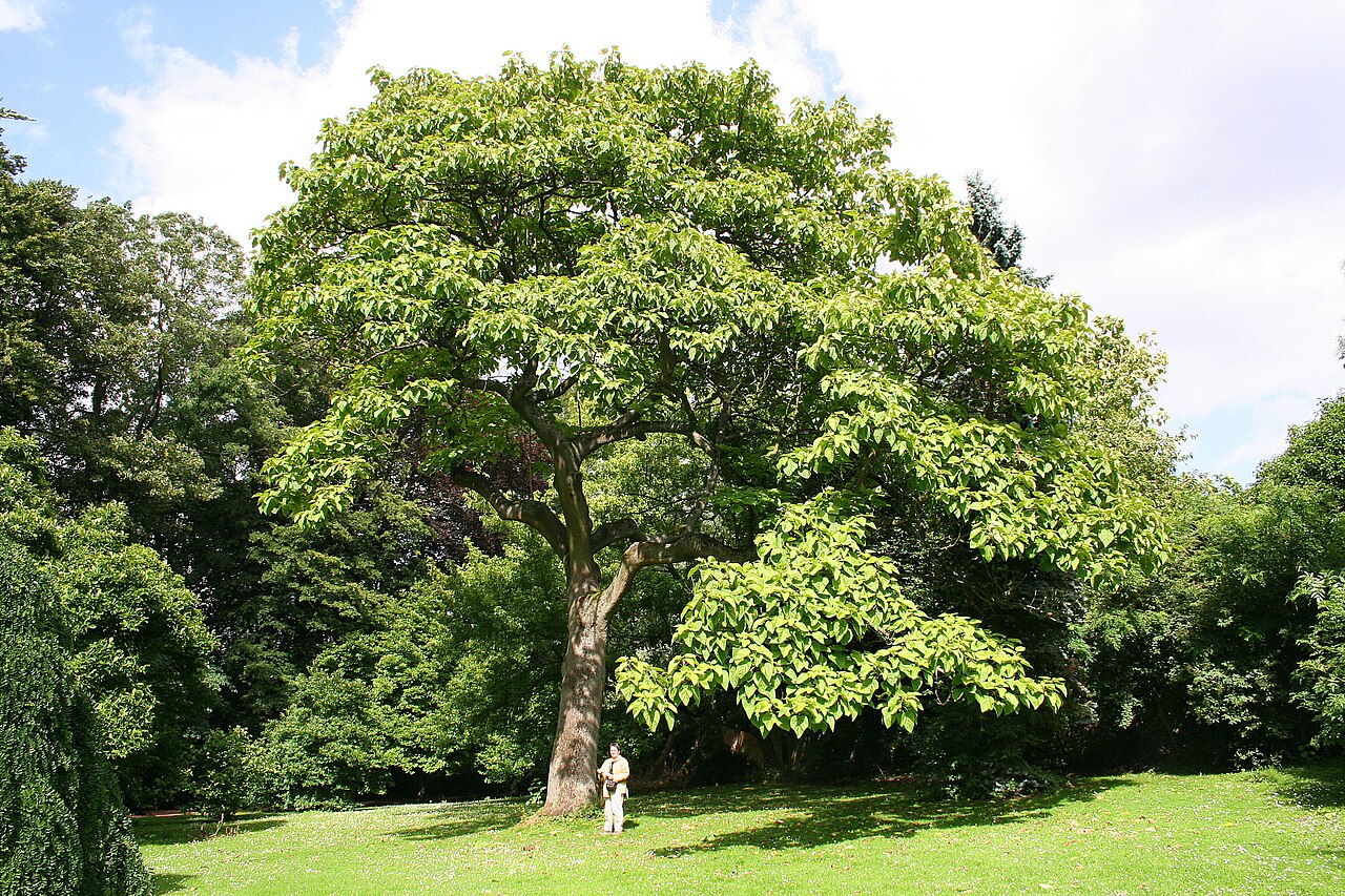 PrincesstreePrincesstree · 3.7 mi
 Ballycroneen BeachBeach / strand · 3.7 mi
 Ballybrannigan BeachBeach / strand · 4.2 mi
 Castlemartyr CastleCastle · 4.2 mi
 William Heffernan MemorialMemorial · 4.2 mi
 Anchor The SagaMemorial · 4.5 mi