What is recorded here
Fairy fort / earthen ringfort in Ballinderry (clonlonan By.) is a fairy fort or earthen ringfort in Ballinderry (clonlonan By.), County Westmeath, Ireland. This probable ringfort, which was reused as a landscape feature after 1700, appears on the 1837 edition Ordnance Survey six-inch map as a large subcircular-shaped earthwork measuring 65 metres east-west and 59 metres north-south. The monument is not depicted on the revised 1910 edition Ordnance Survey twenty-five-inch map, where the area is partially occupied by an irregular-shaped grove of trees on Ballinderry estate, and it remains visible as a subcircular-shaped cropmark on Digital Globe aerial photography.
Situated in undulating pasture. Depicted on the 1837 ed. OS 6-inch map as a large subcircular-shaped earthwork (overall dims. 65m E-W; 59m N-S). Not depicted on the revised 1910 ed. OS 25-inch map, on this map the area is partially occupied by an irregular-shaped grove of trees on Ballinderry estate. Monument is visible today as a subcircular-shaped cropmark on Digital Globe aerial photography. Probable ringfort that was reused as a landscape feature in the post 1700 period.
Compiled by Alison McQueen, Vera Rahilly and Caimin O’Brien.
Date of upload: 09 November 2019
The monument record does not grant public access. Check the route and ask the landowner before entering private land.
- What survives
- Recorded monument
Places near here
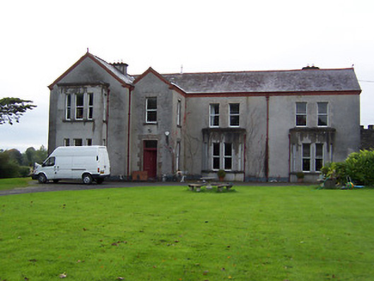 Ballinderry Housecountry house · 183 yd
 gates/railings/wallsgates/railings/walls · 324 yd
 Nolt indicatedCrannog · 825 yd
 Crannog in BallynahinchCrannog · 1444 yd
 Moyally Castle (in Ruins)Bawn · 1.4 mi
 Bawn in Cartronkeel (clonlonan By.)Bawn · 1.5 mi
 Moate HillMountain / peak · 1.6 mi
 Charles BianconiMemorial · 1.6 mi
 The Bob Traynor GalleryGallery · 1.7 mi
 Dún na Sí Heritage CentreMuseum · 2.0 mi
 Roughan HillMountain / peak · 3.5 mi
 ToberaskeenSpring · 3.7 mi