What is recorded here
Mortons and Foy's accounts describe a circular rampart near Ballindangan that people still called a fairy fort. The name suggests more than stones: it implies a hidden door, a music or a warning not to dig where the ground feels angry. Whether or not fairies ever lived there, the ring marked a boundary between human pasture and a place the community chose not to explain.
In pasture, on level ground, above W-facing slope. Depicted as hachured circular enclosure (diam. c. 30m) on 1842 OS 6-inch map; as hachured raised penannular area, on 1905 and 1935 OS 6-inch maps, open to NW. Irregularly shaped area (26m E-W; 24m N-S) raised 0.9m above surrounding field; gorse and briars growing on scarp. Interior quarried into on N side.
The above description is derived from the published 'Archaeological Inventory of County Cork. Volume 4: North Cork' (Dublin: Stationery Office, 2000). In certain instances the entries have been revised and updated in the light of recent research.
Date of upload/revision: 14 January 2009
The monument record does not grant public access. Check the route and ask the landowner before entering private land.
- What survives
- Recorded monument
Places near here
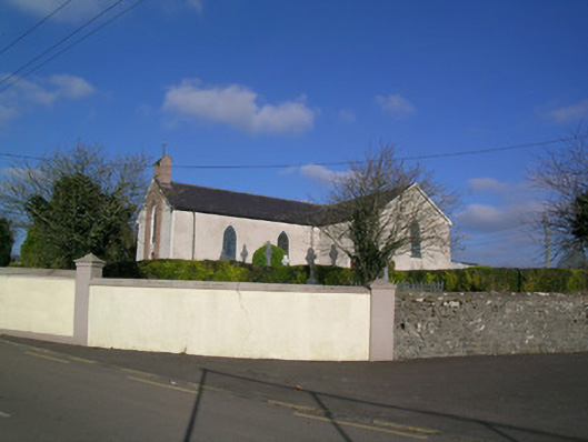 Church of the Immaculate Conceptionchurch/chapel · 1046 yd
 IndicatedKiln, lime · 1051 yd
 Enclosure in Cloghleafin (condons and Clongibbon By., Marshalstown Par.)Enclosure · 1121 yd
 Holy well in BallydeloughyHoly well · 1404 yd
 Ballyloughy CastleCastle · 1462 yd
 CastleCastle, unclassified · 1.5 mi
 Flat cemetery in Ballyenahan NorthFlat cemetery · 2.6 mi
 Kilclooney WoodWood · 3.4 mi
 FlagCave · 3.5 mi
 St Dominick's WellSpring · 3.6 mi
 Graveyard in BoherashGraveyard · 3.6 mi
 North Meadow WoodForest · 5.0 mi