What is recorded here
Lisbunaghbricka is a ruined ringfort on the lower slopes of Knockmoylemore, reduced to a shallow circular band of bare earth and stones measuring roughly seventeen metres across. The fort overlooked the low land around Trabeg, suggesting people once watched the wider valley from this small raised platform. A strange flat stone disc with central hollows still lies near the site, perhaps a marker, toy or tool forgotten when the earth took the walls back.
Lisbunaghbricka/Lios Bun Achadh Brice: The univallate ringfort marked on the OS maps has been almost completely destroyed. The site is now marked by a circular band of bare earth and stones which encloses an area roughly 17.5m E-W and 16m N-S. On the downslope side the area is raised c. 1m above the level of the trackway which skirts its S side. A small stone object was discovered on the surface. It consists of a roughly circular disc, 6cms in diameter and 3 to 4.7cm thick, with central depressions on each of its faces and 2 very shallow depressions on its sides. The site was situated on the lower S slopes of Knockmoylemore overlooking the low-lying land that surrounds Trabeg.
The above description is derived from J. Cuppage (compiler) 'Corca Dhuibhne. Dingle Peninsula archaeological survey.' Ballyferriter. Oidhreacht Chorca Dhuibhne (1986), no. 637. In certain instances the entries have been revised and updated in the light of recent research.
Date of upload: 29 May 2013
The monument record does not grant public access. Check the route and ask the landowner before entering private land.
- What survives
- Recorded monument
Places near here
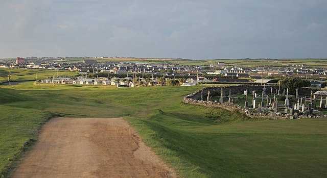 Fulacht fia in Baile An Bhúlaeraigh TheasFulacht fia · 160 yd
 Lios an BhaileArchaeological place · 308 yd
 Church in Lios DeargáinChurch · 1515 yd
 An Cnoc Maol MórMountain / peak · 1.1 mi
 An ChorrMountain / peak · 1.2 mi
 An ChonairViewpoint · 1.6 mi
 Maughanablagher CliffsCliff · 1.8 mi
 Mass-house in An Fearann (tc An Daingean),gort OnóraMass-house · 2.0 mi
 CarrignawaddraNamed rock · 2.3 mi
 Ballintaggart Ogham StonesVisitor information · 2.5 mi
 Lispole Ambush MonumentWayside cross · 2.6 mi
 Castle (Site of)Castle, tower house · 2.6 mi