What is recorded here
No fairy ever touched the place. A person set a boundary, built a ring, and left the land marked. The sea took the shape but never erased the choice.
Lisnaparkakeela/Lios na Páirce Caoile: The circular univallate enclosure marked on the OS maps survives only as a flat-topped platform measuring 19.7m x 19m x a maximum of 1m in height. There is a slight suggestion of a fosse outside the S sector. The mound abuts the W side of a NW-SE field fence, on a level spit of land that projects into the tidal estuary of the Trabeg inlet between the mouths of the Garfinny and Owenalondrig rivers.
The above description is derived from J. Cuppage, ‘Corca Dhuibhne. Dingle Peninsula archaeological survey. Ballyferriter. Oidhreacht Chorca Dhuibhne’ (1986), no. 602. In certain instances the entries have been revised and updated in the light of recent research.
Date of upload: 7 August 2013
The monument record does not grant public access. Check the route and ask the landowner before entering private land.
- What survives
- Recorded monument
Places near here
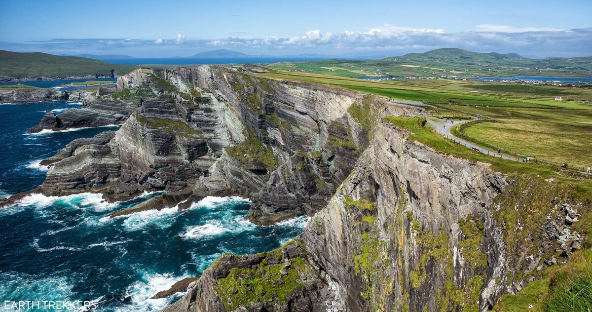 LisnaparkakeelaArchaeological place · 10 yd
 LissadranigArchaeological place · 392 yd
 Ballintaggart Ogham StonesVisitor information · 1.4 mi
 CarrigavinnaunNamed rock · 1.4 mi
 40Cliff · 1.5 mi
 GarrynabraherBuilding · 1.6 mi
 Country house in Arda Mór (tc Cinn Aird)Country house · 1.7 mi
 An ChorrMountain / peak · 1.7 mi
 Hussy's FollyHeritage attraction · 2.2 mi
 Lispole Ambush MonumentWayside cross · 2.3 mi
 Castle (Site of)Castle, tower house · 2.4 mi
 Caol Cronin - SeascapesGallery · 2.4 mi