What is recorded here
Aultagh holds a earthen ringfort on a southwest slope, its bank buried under grass and forgotten time. People called it a fairy fort, perhaps because the shape appeared more than life did. A person may have stood inside it, watched the valley, and left no name behind. The land kept the circle while memory thinned.
In pasture, on SW-facing slope overlooking valley. Locally known as "lios", bank said to be earthen; heavily overgrown.
The above description is derived from the published 'Archaeological Inventory of County Cork. Volume 1: West Cork' (Dublin: Stationery Office, 1992). In certain instances the entries have been revised and updated in the light of recent research.
Date of upload/revision: 14 January 2009
A fairy fort, or earthen ringfort, in Aultagh is a circular defensive or domestic structure dating likely to the early medieval period (c. 500–1000 AD). Locally known as "lios," the site is associated with traditional Irish folklore surrounding fairies and other supernatural beings, with the overgrown bank suggesting long-term disuse and possible oral transmission of its significance.
The monument record does not grant public access. Check the route and ask the landowner before entering private land.
- What survives
- Recorded monument
Places near here
 Ogham StoneOgham stone · 106 yd
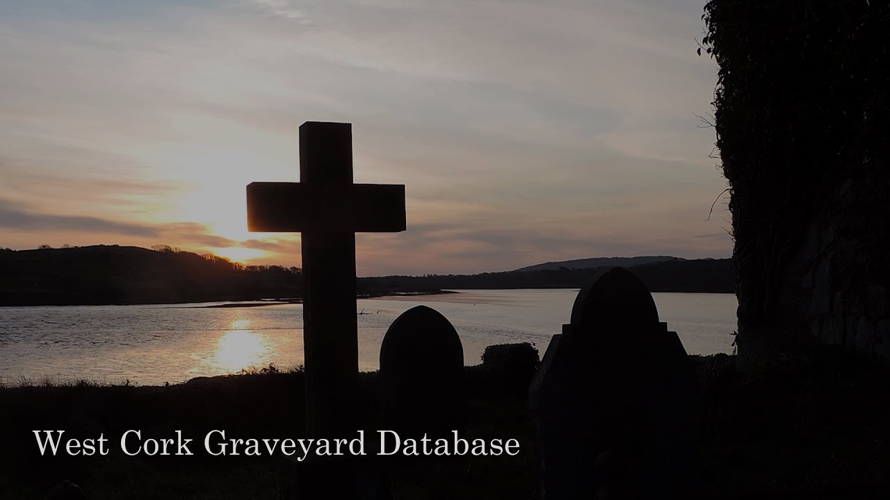 Kill Burial Gd (Disused)Burial ground · 947 yd
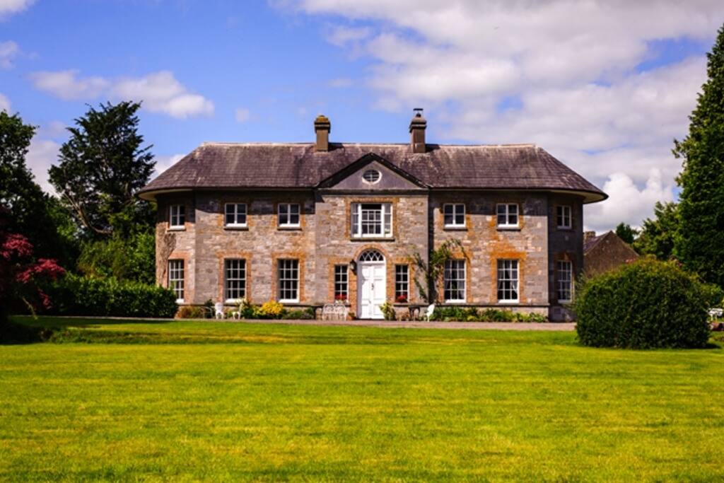 Country house in ArdcahanCountry house · 1510 yd
 Caha BrBridge · 1.3 mi
 OCrowleys Castle (in Ruins)Castle, tower house · 1.7 mi
 Funmanway Adventure LandHeritage attraction · 2.0 mi
 Mount GunneryMountain / peak · 2.2 mi
 Graveyard in Dunmanway NorthGraveyard · 3.1 mi
 Kilmichael Ambushambush · 3.2 mi
 Kilmichael Ambush SiteMonument · 3.2 mi
 Togher CastleCastle, tower house · 3.3 mi
 Dunmanway Heritage CentreVisitor information · 3.5 mi